|
search place name
|
||
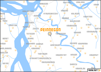
Peinnègon (Myanmar)Peinnègon is a town in Myanmar. An overview map of the region around Peinnègon is displayed below.
regional and 3d topo map of Peinnègon, Myanmar ::
Peinnègon airports ::
The nearest airport is RGN - Yangon Intl, located 175.7 km west of Peinnègon.
Other airports nearby include LPT - Lampang (280.9 km north east), Nearby towns ::
Tanbingon (1.9km north) //
Hngetkyidaung (1.9km south) //
Naunglon (1.9km south) //
Yedwingon (1.9km south) //
Khanaung (1.9km south) //
Tanbingon (3.6km east) //
Hpayagon (4.6km south) //
Muraung (5.4km north) //
Kharun (5.5km south west) //
Zegyo (5.6km west) //
Kyaikmaraw (5.8km south east) //
Kyaikparan (6.1km north) //
Ya-khainggon (6.5km south west) //
Kyonwan (7.0km north) //
Nyaungbinzeik (7.4km north) //
Teyegon (7.1km west) //
Okhpo (7.3km west) //
Kawkame (7.7km south west) //
Kawbwe (7.8km north east) //
Thayagon (8.0km south) //
Ngante (8.1km north west) //
Kawkhani (8.0km south west) //
Kawtagyi (8.0km east) //
Kawbwigon (8.1km east) //
Pa-auk (8.3km south west) //
Hpetkhin (8.6km north west) //
Kadonkyat (8.9km south east) //
Mekaro (8.9km south east) //
Kawgaw (9.9km north east) //
[all distances 'as the bird flies' and approximate] 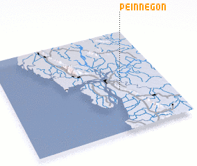 Places with similar names to Peinnègon, Myanmar ::
Disclaimer :: Information on this page comes without warranty of any kind |
||
|
Where is Peinnègon? Elevation and coordinates ::
Latitude (lat): 16°25'0"N Longitude (lon): 97°42'0"E
Elevation (approx.): 8m (map arrows pan, magnifying glasses zoom) |
||
|
Visiting Peinnègon? Hotel/Accommodation ::
Book a hotel in Peinnègon Travel Guide ::
Buy a travel guide for Myanmar rental cars ::
car rental offers GPS waypoint ::
download a GPX waypoint (PoI) of Peinnègon for your GPS receiver
|
||