|
search place name
|
||
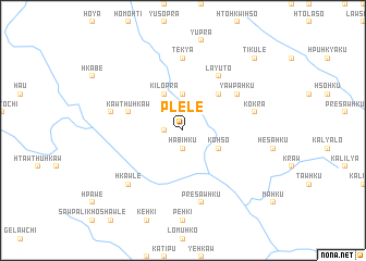
Plè-lè (Kayah, Myanmar)Plè-lè is a town in the Kayah region of Myanmar. An overview map of the region around Plè-lè is displayed below.
regional and 3d topo map of Plè-lè, Myanmar ::
Plè-lè airports ::
The nearest airport is HEH - Heho, located 171.3 km north of Plè-lè.
Nearby towns ::
Lawku-hku (1.8km west) //
Ha-bi-hku (1.9km south) //
Hkrawhku (3.7km north) //
Ki-lo-pra (4.1km north west) //
Ko-hso (4.0km south east) //
Ta-lè-hkrè (5.1km north east) //
Kawthuhkaw (5.6km west) //
Yawpa-hku (6.4km north east) //
La-yu-to (6.6km north east) //
Te-kya (7.4km north) //
Domusaw (7.2km west) //
Ko-kra (7.2km east) //
Prè-sawhku (7.6km south) //
Hkawle (7.6km south west) //
Ti-ku-lè (10.2km north east) //
[all distances 'as the bird flies' and approximate] 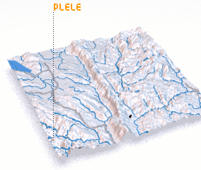 Places with similar names to Plè-lè, Myanmar ::
Disclaimer :: Information on this page comes without warranty of any kind |
||
|
Where is Plè-lè? Elevation and coordinates ::
Latitude (lat): 19°13'0"N Longitude (lon): 97°2'0"E
Elevation (approx.): 767m (map arrows pan, magnifying glasses zoom) |
||
|
Visiting Plè-lè? Hotel/Accommodation ::
Book a hotel in Plè-lè Travel Guide ::
Buy a travel guide for Myanmar rental cars ::
car rental offers GPS waypoint ::
download a GPX waypoint (PoI) of Plè-lè for your GPS receiver
|
||