|
search place name
|
||
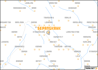
Sepangkawk (Shan, Myanmar)Sepangkawk is a town in the Shan region of Myanmar. An overview map of the region around Sepangkawk is displayed below.
regional and 3d topo map of Sepangkawk, Myanmar ::
Sepangkawk airports ::
The nearest airport is LSH - Lashio, located 56.8 km east of Sepangkawk.
Other airports nearby include MDL - Mandalay Intl (185.6 km south west), Nearby towns ::
Sè-tonhung (1.9km south) //
Ngawt-panglang (1.9km north) //
Se-taü (1.7km west) //
Mān Kai (2.5km north west) //
Kyaukhpyu (3.4km west) //
Kyauk-kawng (3.4km west) //
Loi-hkam (3.7km north) //
Kunhkyet (3.9km south east) //
Hokyet (4.1km south east) //
Pāngsarām (4.1km south east) //
Kongsa (3.9km north west) //
Nguansai (4.1km north west) //
Mānloitaö (4.1km north east) //
Euhkyet (5.0km south east) //
Mogu (5.0km north west) //
Namhsan (5.0km north west) //
Tawng-kiau (5.6km north) //
Tawngma (6.5km south east) //
Mānloinö (6.5km north east) //
Tapmāngsa (6.5km south east) //
Konhai (6.5km south west) //
Saram (6.3km north west) //
Lahpai (7.4km south) //
Mān Kang (7.6km south east) //
Mān Nawk (7.6km south west) //
Haitam (8.8km south east) //
Namlin (8.8km north east) //
[all distances 'as the bird flies' and approximate] 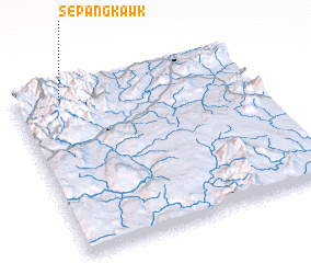 Places with similar names to Sepangkawk, Myanmar :: Disclaimer :: Information on this page comes without warranty of any kind |
||
|
Where is Sepangkawk? Elevation and coordinates ::
Latitude (lat): 22°56'0"N Longitude (lon): 97°12'0"E
Elevation (approx.): 1319m (map arrows pan, magnifying glasses zoom) |
||
|
Visiting Sepangkawk? Hotel/Accommodation ::
Book a hotel in Sepangkawk Travel Guide ::
Buy a travel guide for Myanmar rental cars ::
car rental offers GPS waypoint ::
download a GPX waypoint (PoI) of Sepangkawk for your GPS receiver
|
||