|
search place name
|
||
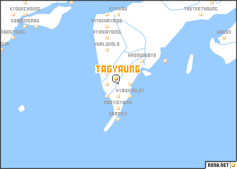
Tagyaung (Ayeyarwady, Myanmar)Tagyaung is a town in the Ayeyarwady region of Myanmar. An overview map of the region around Tagyaung is displayed below.
regional and 3d topo map of Tagyaung, Myanmar ::
Tagyaung airports ::
The nearest airport is RGN - Yangon Intl, located 214.6 km north east of Tagyaung.
Nearby towns ::
Htanbin (1.8km east) //
Ledaung (1.8km west) //
Dedugôn (1.9km south) //
Kyauk-kalat (2.6km south east) //
Wagôn (2.6km north west) //
Zidaung (2.6km south west) //
Magyigyaing (3.7km south) //
Mayangyaung (3.7km south) //
Hpondawbye (5.1km north east) //
Oktwin (5.1km north east) //
Shangyi (5.6km south) //
Ainggo (5.8km north) //
Silaung (5.8km north) //
Khalukala (5.8km north) //
Pyinkayaing (7.6km north) //
Taunggale (8.0km north east) //
[all distances 'as the bird flies' and approximate] 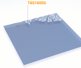 Places with similar names to Tagyaung, Myanmar ::
// Tawgyaung (MM)
// Tawgyaung (MM)
// Tawgyaung (MM)
// Tawgyaung (MM)
// Tawgyaung (MM)
// Tawgyaung-u (MM)
// Tegyaung (MM)
// Tēgyaung (MM)
// Dağyeniköy (TR)
// Dağyeniköy (TR)
Disclaimer :: Information on this page comes without warranty of any kind |
||
|
Where is Tagyaung? Elevation and coordinates ::
Latitude (lat): 15°54'0"N Longitude (lon): 94°25'0"E
Elevation (approx.): 7m (map arrows pan, magnifying glasses zoom) |
||
|
Visiting Tagyaung? Hotel/Accommodation ::
Book a hotel in Tagyaung Travel Guide ::
Buy a travel guide for Myanmar rental cars ::
car rental offers GPS waypoint ::
download a GPX waypoint (PoI) of Tagyaung for your GPS receiver
|
||