|
search place name
|
||
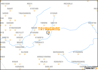
Tayawgaing (Sagaing, Myanmar)Tayawgaing is a town in the Sagaing region of Myanmar. An overview map of the region around Tayawgaing is displayed below.
regional and 3d topo map of Tayawgaing, Myanmar ::
Tayawgaing airports ::
The nearest airport is MDL - Mandalay Intl, located 136.2 km south of Tayawgaing.
Other airports nearby include LSH - Lashio (203.8 km east), IMF - Imphal (279.2 km north west), Nearby towns ::
Sagyin (4.1km north east) //
Yamane (4.1km north west) //
Kywebyu (3.9km south west) //
Yeshin (3.9km south west) //
Tingokkyi (5.0km south west) //
Kyundaw (5.1km west) //
Bugon (5.4km west) //
Kyigyin (6.8km west) //
Myemun (7.6km north) //
Sainggaung (8.2km south east) //
Onbingon (9.0km south east) //
[all distances 'as the bird flies' and approximate] 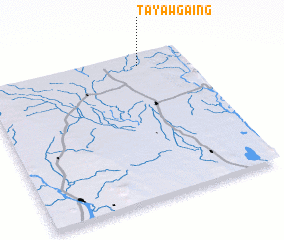 Places with similar names to Tayawgaing, Myanmar ::
// Tayawgaing (MM)
// Tayegaing (MM)
// Ta-yu-k'eng (TW)
// Taiyigong (CN)
// Tyagong (AU)
// Dayegaung (MM)
Disclaimer :: Information on this page comes without warranty of any kind |
||
|
Where is Tayawgaing? Elevation and coordinates ::
Latitude (lat): 22°55'0"N Longitude (lon): 95°46'0"E
Elevation (approx.): 179m (map arrows pan, magnifying glasses zoom) |
||
|
Visiting Tayawgaing? Hotel/Accommodation ::
Book a hotel in Tayawgaing Travel Guide ::
Buy a travel guide for Myanmar rental cars ::
car rental offers GPS waypoint ::
download a GPX waypoint (PoI) of Tayawgaing for your GPS receiver
|
||