|
search place name
|
||
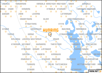
Wun-aing (Myanmar)Wun-aing is a town in Myanmar. An overview map of the region around Wun-aing is displayed below.
regional and 3d topo map of Wun-aing, Myanmar ::
Wun-aing airports ::
The nearest airport is RGN - Yangon Intl, located 169.2 km south of Wun-aing.
Nearby towns ::
Inbintha (1.9km north) //
Zaha (1.9km north) //
Gyobintha (1.8km west) //
Thamigwe (2.6km south west) //
Ingwin (2.6km south east) //
Chauk-einzu (2.6km south east) //
Ingon (2.6km north east) //
Thazi (2.6km north west) //
Yedwingon (2.6km north east) //
Payalaha (4.1km south east) //
Thayetkon (4.1km south east) //
Kwinwaing (5.1km south west) //
Okshitkin (5.1km north west) //
Kyiyo (5.1km north east) //
Kya-inbauk (5.1km north east) //
Ngamyitchin (5.3km east) //
Zibyugin (5.3km west) //
Kyaukmyaung (5.3km east) //
Kingyi (5.6km south) //
Seiktangin (5.6km west) //
Gonmingwin (5.6km west) //
Auk Zaha (5.6km east) //
Thetkegon (5.8km south) //
Setyon (5.8km north) //
Linyawgin (5.8km south) //
Paukzalok (5.8km north) //
Sobongwin (5.8km south) //
Hlē-in (5.8km north) //
Kanyutkwin (6.4km south west) //
[all distances 'as the bird flies' and approximate]  Places with similar names to Wun-aing, Myanmar ::
Disclaimer :: Information on this page comes without warranty of any kind |
||
|
Where is Wun-aing? Elevation and coordinates ::
Latitude (lat): 18°23'0"N Longitude (lon): 96°33'0"E
Elevation (approx.): 30m (map arrows pan, magnifying glasses zoom) |
||
|
Visiting Wun-aing? Hotel/Accommodation ::
Book a hotel in Wun-aing Travel Guide ::
Buy a travel guide for Myanmar rental cars ::
car rental offers GPS waypoint ::
download a GPX waypoint (PoI) of Wun-aing for your GPS receiver
|
||