|
search place name
|
||
El Haouanet (Tlemcen, Algeria)El Haouanet is a town in the Tlemcen region of Algeria. An overview map of the region around El Haouanet is displayed below.
regional and 3d topo map of El Haouanet, Algeria ::

El Haouanet airports ::
The nearest airport is OUD - Oujda Angads, located 24.3 km south west of El Haouanet.
Other airports nearby include TLM - Tlemcen Zenata (31.5 km east), MLN - Melilla (111.4 km west), ORN - Oran Es Senia (128.4 km north east), TAF - Oran Tafaraoui (130.6 km north east), Nearby towns ::
Oulad el Abbes (1.3km south) //
Douar el Kreïeb (1.9km west) //
Douar el Hadj Mohammed (5.0km north west) //
Douar Bab Tahar (5.3km south west) //
Douar Feddan Sellah (5.0km north west) //
Tahar (5.2km south west) //
Ouled el Hoûâri (6.0km south) //
Tarnana (5.5km west) //
Nedroma (5.9km north east) //
Douar Ben Smina (6.1km west) //
Douar Hadjar Mensouk (6.9km north east) //
Douar Ali Bel Rida (6.6km north west) //
Douar Oulad Bou Setta (7.1km south east) //
Maaziz (8.0km south) //
Tisrar (8.2km north) //
Bahlalla (8.5km north) //
Tiennt (9.8km north west) //
Oulad Ali (10.7km north west) //
[all distances 'as the bird flies' and approximate] 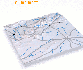 Places with similar names to El Haouanet, Algeria ::
Disclaimer :: Information on this page comes without warranty of any kind |
||
|
Where is El Haouanet? Elevation and coordinates ::
Latitude (lat): 34°58'36"N Longitude (lon): 1°47'28"W
Elevation (approx.): 659m (map arrows pan, magnifying glasses zoom) |
||
|
Visiting El Haouanet? Hotel/Accommodation ::
Book a hotel in El Haouanet Travel Guide ::
Buy a travel guide for Algeria rental cars ::
car rental offers GPS waypoint ::
download a GPX waypoint (PoI) of El Haouanet for your GPS receiver
|
||