|
search place name
|
||
Canto do Junco (Rio Grande do Norte, Brazil)Canto do Junco is a town in the Rio Grande do Norte region of Brazil. An overview map of the region around Canto do Junco is displayed below.
regional and 3d topo map of Canto do Junco, Brazil ::

Canto do Junco airports ::
The nearest airport is FOR - Fortaleza Pinto Martins Intl, located 202.0 km north west of Canto do Junco.
Nearby towns ::
Liberlândi (2.0km south west) //
Flarânia (4.1km west) //
Rio Morto (4.3km south east) //
Mossoró (4.8km south) //
Carnaúba Verde (5.9km north) //
Juàzeirinho (6.1km south west) //
Santa Júlia (6.5km north) //
Rincão (6.7km south east) //
Passagem de Pedra (6.8km east) //
Melancia (7.6km east) //
Forno Velho (8.3km south west) //
Umari (8.4km east) //
São João (8.4km west) //
Forquilha (8.8km south) //
Oiticica (9.1km north west) //
Jucal (9.8km south west) //
[all distances 'as the bird flies' and approximate] 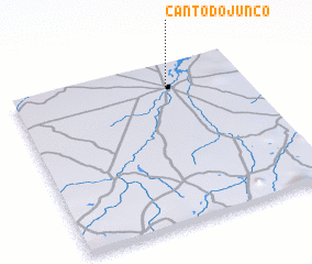 Places with similar names to Canto do Junco, Brazil ::
// Quinta do Janica (PT)
// Cañada de Junco (ES)
Disclaimer :: Information on this page comes without warranty of any kind |
||
|
Where is Canto do Junco? Elevation and coordinates ::
Latitude (lat): 5°9'0"S Longitude (lon): 37°20'0"W
Elevation (approx.): 5m (map arrows pan, magnifying glasses zoom) |
||
|
Visiting Canto do Junco? Hotel/Accommodation ::
Book a hotel in Canto do Junco Travel Guide ::
Buy a travel guide for Brazil rental cars ::
car rental offers GPS waypoint ::
download a GPX waypoint (PoI) of Canto do Junco for your GPS receiver
|
||