|
search place name
|
||
Cassilândia (Mato Grosso do Sul, Brazil)Cassilândia is a town in the Mato Grosso do Sul region of Brazil. An overview map of the region around Cassilândia is displayed below.
regional and 3d topo map of Cassilândia, Brazil ::

Cassilândia airports ::
The nearest airport is ARU - Aracatuba, located 260.4 km south east of Cassilândia.
Nearby towns ::
Árvore Grande (10.2km south west) //
[all distances 'as the bird flies' and approximate] 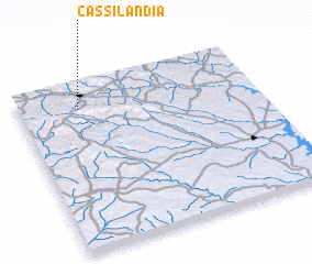 Places with similar names to Cassilândia, Brazil ::
// Casa Linda (US)
// Casa Linda (US)
// Kauslund (DE)
// Kausland (NO)
// Casa Linda (US)
// Casallanta (MX)
// Koslanda (LK)
// Kazilonda (ZM)
// Gazeland (JM)
// Guzolândia (BR)
Disclaimer :: Information on this page comes without warranty of any kind |
||
|
Where is Cassilândia? Elevation and coordinates ::
Latitude (lat): 19°9'0"S Longitude (lon): 51°45'0"W
Elevation (approx.): 473m (map arrows pan, magnifying glasses zoom) |
||
|
Visiting Cassilândia? Hotel/Accommodation ::
Book a hotel in Cassilândia Travel Guide ::
Buy a travel guide for Brazil rental cars ::
car rental offers GPS waypoint ::
download a GPX waypoint (PoI) of Cassilândia for your GPS receiver
|
||