|
search place name
|
||
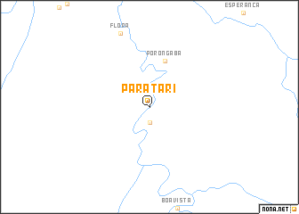
Paratari (Acre, Brazil)Paratari is a town in the Acre region of Brazil. An overview map of the region around Paratari is displayed below.
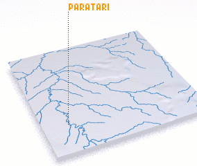
regional and 3d topo map of Paratari, Brazil ::
Paratari airports ::
The nearest airport is CZS - Cruiziro Do Sul Cruzeiro Do Sul, located 123.7 km north of Paratari.
Other airports nearby include PCL - Pucallpa Cap Fap David Abenzur Rengifo Intl (195.3 km west), Nearby towns ::
 Places with similar names to Paratari, Brazil ::
// Parteiro (BR)
// Peritoró (BR)
// Peritoró (BR)
// Porteira (BR)
// Porteira (BR)
// Porteira (BR)
// Porteira (BR)
// Pôrto Arraia (BR)
// Pôrto Uerê (BR)
// Porter (US)
Disclaimer :: Information on this page comes without warranty of any kind |
||
|
Where is Paratari? Elevation and coordinates ::
Latitude (lat): 8°43'0"S Longitude (lon): 72°50'0"W
Elevation (approx.): 222m (map arrows pan, magnifying glasses zoom) |
||
|
Visiting Paratari? Hotel/Accommodation ::
Book a hotel in Paratari Travel Guide ::
Buy a travel guide for Brazil rental cars ::
car rental offers GPS waypoint ::
download a GPX waypoint (PoI) of Paratari for your GPS receiver
|
||