|
search place name
|
||
Santo Esidro (Mato Grosso do Sul, Brazil)Santo Esidro is a town in the Mato Grosso do Sul region of Brazil. An overview map of the region around Santo Esidro is displayed below.
regional and 3d topo map of Santo Esidro, Brazil ::

Nearby towns ::
Capivara (3.9km north west) //
Retiro Progresso (6.9km west) //
Ôvo de Ema (7.8km south west) //
[all distances 'as the bird flies' and approximate] 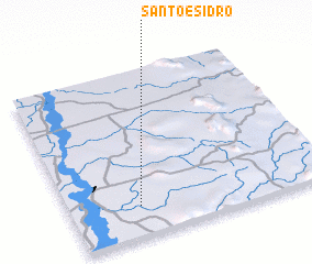 Places with similar names to Santo Esidro, Brazil ::
// Santo Isidoro (BR)
// Santo Isidro (BR)
// San Desiderio (IT)
// Santo Izidoro (PT)
// Santo Izidro (PT)
// Saint Isidore (ZA)
// Saint-Isidore (ML)
// Saint-Satur (FR)
// SantʼIsidoro (IT)
// Saint-Astier (FR)
Disclaimer :: Information on this page comes without warranty of any kind |
||
|
Where is Santo Esidro? Elevation and coordinates ::
Latitude (lat): 21°49'0"S Longitude (lon): 57°44'0"W
Elevation (approx.): 91m (map arrows pan, magnifying glasses zoom) |
||
|
Visiting Santo Esidro? Hotel/Accommodation ::
Book a hotel in Santo Esidro Travel Guide ::
Buy a travel guide for Brazil rental cars ::
car rental offers GPS waypoint ::
download a GPX waypoint (PoI) of Santo Esidro for your GPS receiver
|
||