|
search place name
|
||
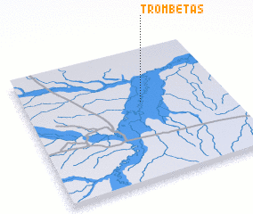
Trombetas (Amazonas, Brazil)Trombetas is a town in the Amazonas region of Brazil. An overview map of the region around Trombetas is displayed below.
regional and 3d topo map of Trombetas, Brazil ::

Trombetas airports ::
The nearest airport is CZS - Cruiziro Do Sul Cruzeiro Do Sul, located 44.8 km south west of Trombetas.
Nearby towns ::
 Places with similar names to Trombetas, Brazil ::
// Teremets (RU)
// Dormitz (AT)
// Tarmitz (DE)
// Trombitás (HU)
// Tiirimetsa (EE)
// Teremtsy (UA)
// Teremtsy (UA)
// Deer Meadows (US)
// Tramatza (IT)
// Dormitz (DE)
Disclaimer :: Information on this page comes without warranty of any kind |
||
|
Where is Trombetas? Elevation and coordinates ::
Latitude (lat): 7°24'0"S Longitude (lon): 72°25'0"W
Elevation (approx.): 183m (map arrows pan, magnifying glasses zoom) |
||
|
Visiting Trombetas? Hotel/Accommodation ::
Book a hotel in Trombetas Travel Guide ::
Buy a travel guide for Brazil rental cars ::
car rental offers GPS waypoint ::
download a GPX waypoint (PoI) of Trombetas for your GPS receiver
|
||