|
search place name
|
||
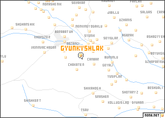
Gyunkyshlak (Zǝngilan, Azerbaijan)Gyunkyshlak is a town in the Zǝngilan region of Azerbaijan. An overview map of the region around Gyunkyshlak is displayed below.
regional and 3d topo map of Gyunkyshlak, Azerbaijan ::
Gyunkyshlak airports ::
The nearest airport is TBZ - Tabriz Intl, located 116.1 km south of Gyunkyshlak.
Nearby towns ::
Agkend (2.6km north) //
Chakaten (2.6km south west) //
Canbar (2.3km south east) //
Geyali (2.5km north east) //
Qazançı (2.7km north west) //
Voghji (3.6km north) //
Geghanush (3.0km west) //
Siznak (4.2km north east) //
Syunikʼ (4.5km north) //
Gomaran (3.8km north west) //
Ditsʼmayri (5.0km north east) //
Kapan (5.1km north west) //
Karachiman (5.1km north east) //
Barabatʼum (5.9km north west) //
Geyali (5.3km south east) //
Nerkʼin Gyodakʼlu (6.4km north) //
Burunlu (5.3km east) //
Seyidlǝr (6.3km north east) //
Khalaj (7.9km north) //
Shikahogh (8.0km south) //
Şayıflı (6.9km south east) //
Verin Vachagan (6.9km west) //
Nǝcǝflǝr (7.7km south east) //
Yusiflar (7.7km south east) //
Verin Gyodakʼlu (8.6km north east) //
Kavart (9.2km north west) //
Khdrantsʼ (9.3km north east) //
[all distances 'as the bird flies' and approximate] 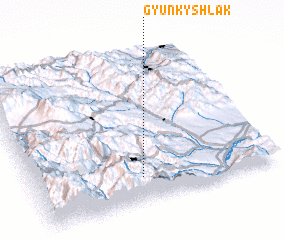 Places with similar names to Gyunkyshlak, Azerbaijan ::
// Gyuneykyshlak (AZ)
Disclaimer :: Information on this page comes without warranty of any kind |
||
|
Where is Gyunkyshlak? Elevation and coordinates ::
Latitude (lat): 39°9'56"N Longitude (lon): 46°27'7"E
Elevation (approx.): 945m (map arrows pan, magnifying glasses zoom) |
||
|
Visiting Gyunkyshlak? Hotel/Accommodation ::
Book a hotel in Gyunkyshlak Travel Guide ::
Buy a travel guide for Azerbaijan rental cars ::
car rental offers GPS waypoint ::
download a GPX waypoint (PoI) of Gyunkyshlak for your GPS receiver
|
||