|
search place name
|
||
Ādī Wekʼaʼī (Ethiopia)Ādī Wekʼaʼī is a town in Ethiopia. An overview map of the region around Ādī Wekʼaʼī is displayed below.
regional and 3d topo map of Ādī Wekʼaʼī, Ethiopia ::

Ādī Wekʼaʼī airports ::
The nearest airport is AXU - Axum, located 54.0 km south west of Ādī Wekʼaʼī.
Other airports nearby include MQX - Makale (106.3 km south), GDQ - Gondar (281.7 km south west), Nearby towns ::
Irar (2.8km north west) //
Leyto (3.4km north east) //
Ādī Rowra (3.8km south) //
Bizet (3.9km east) //
Āʼi Kutī (4.7km south) //
Inine (5.1km north) //
Kisad Hitsʼa (5.1km south west) //
Inine (5.9km north west) //
Harmet (6.6km south) //
Endaga Robo (6.8km north west) //
Āhizera (7.2km south east) //
Ādī Goradaʼitī (7.3km south east) //
Kinto (8.1km north) //
Werga Āgazin (8.1km north west) //
Abuna Abiesghi (8.5km south) //
Kinin (8.7km north east) //
Menatu (8.8km south east) //
Mezabir (8.9km east) //
Wegrezīh (9.9km south east) //
[all distances 'as the bird flies' and approximate] 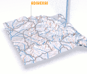 Places with similar names to Ādī Wekʼaʼī, Ethiopia ::
// Aït Wahkou (MA)
// Ad Dawaykah (EG)
// Adewuke (GH)
// Adwoki (UG)
// Ad Duwaykah (OM)
// Atwick (GB)
// Ādī Weka (ET)
// Adoweko (GH)
Disclaimer :: Information on this page comes without warranty of any kind |
||
|
Where is Ādī Wekʼaʼī? Elevation and coordinates ::
Latitude (lat): 14°22'35"N Longitude (lon): 39°12'53"E
Elevation (approx.): 2095m (map arrows pan, magnifying glasses zoom) |
||
|
Visiting Ādī Wekʼaʼī? Hotel/Accommodation ::
Book a hotel in Ādī Wekʼaʼī Travel Guide ::
Buy a travel guide for Ethiopia rental cars ::
car rental offers GPS waypoint ::
download a GPX waypoint (PoI) of Ādī Wekʼaʼī for your GPS receiver
|
||