|
search place name
|
||
Kumba Pits (Botswana)Kumba Pits is a town in Botswana. An overview map of the region around Kumba Pits is displayed below.
regional and 3d topo map of Kumba Pits, Botswana ::

Kumba Pits airports ::
The nearest airport is BBK - Kasane, located 110.2 km north east of Kumba Pits.
Other airports nearby include VFA - Victoria Falls Intl (140.1 km north east), LVI - Livingstone (156.0 km north east), MUB - Maun (191.4 km south west), Nearby towns ::
[all distances 'as the bird flies' and approximate] 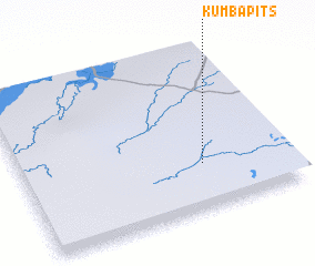 Places with similar names to Kumba Pits, Botswana ::
// Kumpitz (AT)
// Gompitz (DE)
// Campo Dos (CO)
// Campo Dos (GT)
// Campo Diez (MX)
// Campo Dos (MX)
// Campo Dos (MX)
// Campo Dos (MX)
// Campo DosA (MX)
// Campo Dos (HN)
Disclaimer :: Information on this page comes without warranty of any kind |
||
|
Where is Kumba Pits? Elevation and coordinates ::
Latitude (lat): 18°43'0"S Longitude (lon): 24°41'0"E
Elevation (approx.): 967m (map arrows pan, magnifying glasses zoom) |
||
|
Visiting Kumba Pits? Hotel/Accommodation ::
Book a hotel in Kumba Pits Travel Guide ::
Buy a travel guide for Botswana rental cars ::
car rental offers GPS waypoint ::
download a GPX waypoint (PoI) of Kumba Pits for your GPS receiver
|
||