|
search place name
|
||
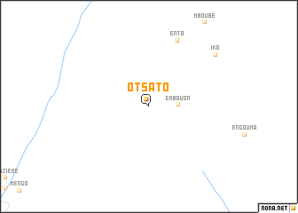
Otsato (Plateaux, Congo, Republic of the)Otsato is a town in the Plateaux region of Congo, Republic of the. An overview map of the region around Otsato is displayed below.
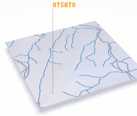
regional and 3d topo map of Otsato, Congo, Republic of the ::
Otsato airports ::
The nearest airport is FTX - Owando, located 167.1 km north east of Otsato.
Other airports nearby include MVB - Franceville Mvengue (194.2 km west), OKN - Okondja (210.8 km north west), Nearby towns ::
 Places with similar names to Otsato, Congo, Republic of the ::
Disclaimer :: Information on this page comes without warranty of any kind |
||
|
Where is Otsato? Elevation and coordinates ::
Latitude (lat): 1°49'33"S Longitude (lon): 15°10'32"E
Elevation (approx.): 461m (map arrows pan, magnifying glasses zoom) |
||
|
Visiting Otsato? Hotel/Accommodation ::
Book a hotel in Otsato Travel Guide ::
rental cars ::
car rental offers GPS waypoint ::
download a GPX waypoint (PoI) of Otsato for your GPS receiver
|
||