|
search place name
|
||
Dublanc (Saint Peter, Dominica)Dublanc is a town in the Saint Peter region of Dominica. An overview map of the region around Dublanc is displayed below.
regional and 3d topo map of Dublanc, Dominica ::

Dublanc airports ::
The nearest airport is DOM - Dominica Melville Hall, located 18.2 km east of Dublanc.
Other airports nearby include DCF - Canefield (21.5 km south), PTP - Pointe-a-pitre Le Raizet (83.1 km north), FDF - Fort-de-france Le Lamentin (113.9 km south east), SLU - Castries George F L Charles (173.3 km south), Nearby towns ::
Bioche (1.9km south) //
Colihaut (4.1km south west) //
Glanvillia (5.6km north) //
Lagon (7.4km north) //
Clifton (7.4km north) //
Portsmouth (7.4km north) //
Coulibistri (7.4km south) //
Morne Raquette (7.6km south) //
Dos DʼÂne (9.1km north east) //
Bornes (9.1km north east) //
La Source (10.3km north east) //
Belmanier (10.3km north east) //
[all distances 'as the bird flies' and approximate] 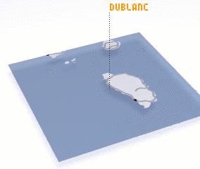 Places with similar names to Dublanc, Dominica ::
Disclaimer :: Information on this page comes without warranty of any kind |
||
|
Where is Dublanc? Elevation and coordinates ::
Latitude (lat): 15°31'0"N Longitude (lon): 61°28'0"W
Elevation (approx.): 91m (map arrows pan, magnifying glasses zoom) |
||
|
Visiting Dublanc? Hotel/Accommodation ::
Book a hotel in Dublanc Travel Guide ::
Buy a travel guide for Dominica rental cars ::
car rental offers GPS waypoint ::
download a GPX waypoint (PoI) of Dublanc for your GPS receiver
|
||