|
search place name
|
||
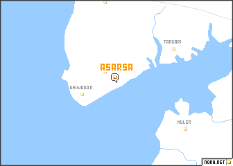
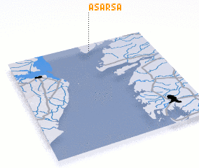
Asarsa (Gujarāt, India)Asarsa is a town in the Gujarāt region of India. An overview map of the region around Asarsa is displayed below.
regional and 3d topo map of Asarsa, India ::
Asarsa airports ::
The nearest airport is BHU - Bhaunagar Bhavnagar, located 45.8 km south west of Asarsa.
Other airports nearby include BDQ - Baroda Vadodara (79.9 km north east), STV - Surat (92.2 km south), AMD - Ahmedabad (126.8 km north), NMB - Daman (168.1 km south), Nearby towns ::
 Places with similar names to Asarsa, India ::
// Ašćerići (BA)
// Azarići (BA)
// Aizároz (ES)
// Azores (ES)
// Azaourissè (BJ)
// As Sayrsah (OM)
// Azerzou (MA)
// As Sars (TN)
// Auzers (FR)
// Aozaraza (ES)
Disclaimer :: Information on this page comes without warranty of any kind |
||
|
Where is Asarsa? Elevation and coordinates ::
Latitude (lat): 21°56'0"N Longitude (lon): 72°35'0"E
Elevation (approx.): 6m (map arrows pan, magnifying glasses zoom) |
||
|
Visiting Asarsa? Hotel/Accommodation ::
Book a hotel in Asarsa Travel Guide ::
Buy a travel guide for India rental cars ::
car rental offers GPS waypoint ::
download a GPX waypoint (PoI) of Asarsa for your GPS receiver
|
||