|
search place name
|
||
Awonggo (Indonesia)Awonggo is a town in Indonesia. An overview map of the region around Awonggo is displayed below.
regional and 3d topo map of Awonggo, Indonesia ::
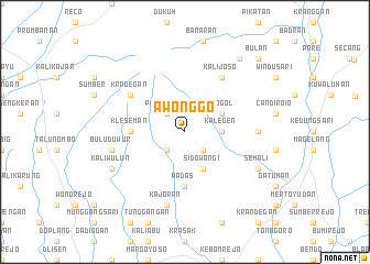
Nearby towns ::
Sutopat (2.6km south west) //
Prampelan (2.6km north west) //
Kaliangkrik (2.6km south east) //
Kalegen (3.7km east) //
Sidowangi (4.1km south east) //
Grogol (4.1km north east) //
Kleseman (5.5km west) //
Sokoyoso (5.5km west) //
Mranggen (5.6km south) //
Wadas (5.6km south) //
Kradegan (6.6km north west) //
Kalijoso (6.7km north east) //
Tonoboyo (7.4km east) //
Kajoran (7.6km south) //
Buluduwur (7.6km west) //
Kaliwulun (8.2km south west) //
Semali (8.2km south east) //
Tempuran (9.2km north east) //
Bulan (10.4km north east) //
[all distances 'as the bird flies' and approximate] 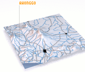 Places with similar names to Awonggo, Indonesia ::
Disclaimer :: Information on this page comes without warranty of any kind |
||
|
Where is Awonggo? Elevation and coordinates ::
Latitude (lat): 7°27'0"S Longitude (lon): 110°6'0"E
Elevation (approx.): 992m (map arrows pan, magnifying glasses zoom) |
||
|
Visiting Awonggo? Hotel/Accommodation ::
Book a hotel in Awonggo Travel Guide ::
Buy a travel guide for Indonesia rental cars ::
car rental offers GPS waypoint ::
download a GPX waypoint (PoI) of Awonggo for your GPS receiver
|
||