|
search place name
|
||
Jatinom (Indonesia)Jatinom is a town in Indonesia. An overview map of the region around Jatinom is displayed below.
regional and 3d topo map of Jatinom, Indonesia ::
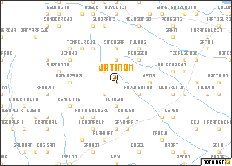
Nearby towns ::
Watugajah (0.0km north) //
Polanharjo (2.6km north west) //
Gemampir (2.6km south west) //
Satriyan (3.7km north) //
Ketanden (3.7km south) //
Totogan (3.7km south) //
Karanganom (4.1km south east) //
Ponggok (5.2km north east) //
Tegalrejo (5.5km east) //
Jetis (5.5km east) //
Singosari (5.6km north) //
Kuwoso (5.9km south) //
Karangnongko (6.7km south west) //
Keposonggede (6.7km north west) //
Tulung (6.7km north east) //
Banjarsari (7.3km west) //
Klaten (7.4km south) //
Gayamprit (7.6km south) //
Pokoh (7.8km south west) //
Tempelrejo (7.8km north west) //
Jemowo (8.2km north west) //
Kemalang (8.2km south west) //
Kebonarum (8.3km south west) //
Barastampir (9.2km north west) //
Ketandan (9.2km south east) //
[all distances 'as the bird flies' and approximate] 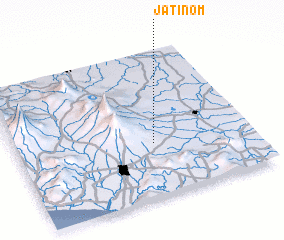
Disclaimer :: Information on this page comes without warranty of any kind |
||
|
Where is Jatinom? Elevation and coordinates ::
Latitude (lat): 7°38'0"S Longitude (lon): 110°35'0"E
Elevation (approx.): 317m (map arrows pan, magnifying glasses zoom) |
||
|
Visiting Jatinom? Hotel/Accommodation ::
Book a hotel in Jatinom Travel Guide ::
Buy a travel guide for Indonesia rental cars ::
car rental offers GPS waypoint ::
download a GPX waypoint (PoI) of Jatinom for your GPS receiver
|
||