|
search place name
|
||
Samanitake (Indonesia)Samanitake is a town in Indonesia. An overview map of the region around Samanitake is displayed below.
regional and 3d topo map of Samanitake, Indonesia ::

Samanitake airports ::
The nearest airport is MKQ - Merauke Mopah, located 31.7 km north west of Samanitake.
Nearby towns ::
[all distances 'as the bird flies' and approximate] 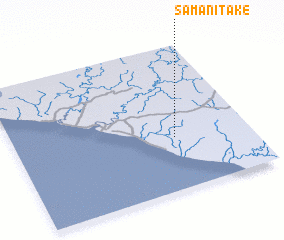 Places with similar names to Samanitake, Indonesia ::
// Sumantakaw (MY)
// Zamanátiko (GR)
// Samandaka (TD)
// Somandega (GH)
// Samandak (IR)
// Zamīn Tok (PK)
// Seïmandougou (GN)
// Somandaga (ML)
// Soumandougou (ML)
// Samantiki (PG)
Disclaimer :: Information on this page comes without warranty of any kind |
||
|
Where is Samanitake? Elevation and coordinates ::
Latitude (lat): 8°38'0"S Longitude (lon): 140°41'0"E
Elevation (approx.): 18m (map arrows pan, magnifying glasses zoom) |
||
|
Visiting Samanitake? Hotel/Accommodation ::
Book a hotel in Samanitake Travel Guide ::
Buy a travel guide for Indonesia rental cars ::
car rental offers GPS waypoint ::
download a GPX waypoint (PoI) of Samanitake for your GPS receiver
|
||