|
search place name
|
||
Plevenje (Macedonia, The Republic of)Plevenje is a town in Macedonia, The Republic of. An overview map of the region around Plevenje is displayed below.
regional and 3d topo map of Plevenje, Macedonia, The Republic of ::

Plevenje airports ::
The nearest airport is SKP - Skopje, located 42.6 km north of Plevenje.
Other airports nearby include OHD - Ohrid (85.5 km south west), PRN - Pristina (120.5 km north west), KSO - Kastoria Aristotelis (128.8 km south), KZI - Kozani Filippos (144.7 km south), Nearby towns ::
Kriva Kruša (2.5km north) //
Martolci (3.2km east) //
Novo Selo (3.9km north east) //
Omorani (4.9km south) //
Teovo (3.8km west) //
Stari Grad (4.0km east) //
Golozinci (7.3km north) //
Sogle (5.6km west) //
Melnica (7.5km north) //
Pomenovo (7.7km south east) //
Elovec (8.2km north) //
Izvor (7.1km east) //
Čaška (8.9km north east) //
Naselba Čaška (9.9km north east) //
[all distances 'as the bird flies' and approximate] 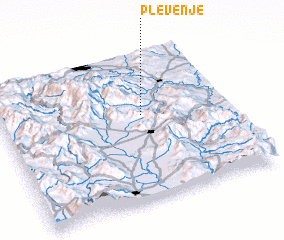 Places with similar names to Plevenje, Macedonia, The Republic of ::
Disclaimer :: Information on this page comes without warranty of any kind |
||
|
Where is Plevenje? Elevation and coordinates ::
Latitude (lat): 41°34'40"N Longitude (lon): 21°37'3"E
Elevation (approx.): 745m (map arrows pan, magnifying glasses zoom) |
||
|
Visiting Plevenje? Hotel/Accommodation ::
Book a hotel in Plevenje Travel Guide ::
rental cars ::
car rental offers GPS waypoint ::
download a GPX waypoint (PoI) of Plevenje for your GPS receiver
|
||