|
search place name
|
||
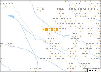
Kimande (Central, Kenya)Kimande is a town in the Central region of Kenya. An overview map of the region around Kimande is displayed below.
regional and 3d topo map of Kimande, Kenya ::
Kimande airports ::
The nearest airport is WIL - Nairobi Wilson, located 55.9 km south of Kimande.
Other airports nearby include EDL - Eldoret Intl (220.1 km north west), KTL - Kitale (284.8 km north west), Nearby towns ::
Karangi (1.9km south) //
Wanyaga (1.9km north) //
Gatakaini (2.6km south west) //
Thika Valley (2.6km north east) //
Kiarutara (4.1km south east) //
Makomboki (4.1km north east) //
Gatiaini (5.2km north east) //
Mataara (5.6km south) //
Mairi (5.9km north) //
Gakoe (7.4km south) //
Thunguri (7.6km south) //
Mathanjeini (7.9km north east) //
Karugutu (8.3km south east) //
Kinyona (8.3km north east) //
Kangare (8.3km north east) //
Kagundu (9.3km north east) //
Gatura (9.3km south east) //
Kiganjo (10.5km south east) //
[all distances 'as the bird flies' and approximate] 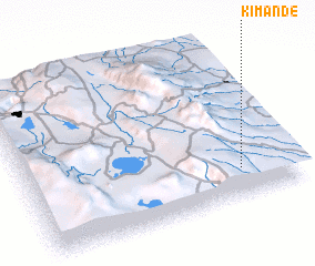 Places with similar names to Kimande, Kenya ::
Disclaimer :: Information on this page comes without warranty of any kind |
||
|
Where is Kimande? Elevation and coordinates ::
Latitude (lat): 0°49'0"S Longitude (lon): 36°48'0"E
Elevation (approx.): 2126m (map arrows pan, magnifying glasses zoom) |
||
|
Visiting Kimande? Hotel/Accommodation ::
Book a hotel in Kimande Travel Guide ::
Buy a travel guide for Kenya rental cars ::
car rental offers GPS waypoint ::
download a GPX waypoint (PoI) of Kimande for your GPS receiver
|
||