|
search place name
|
||
Adudong (Ghana)Adudong is a town in Ghana. An overview map of the region around Adudong is displayed below.
regional and 3d topo map of Adudong, Ghana ::

Adudong airports ::
The nearest airport is LFW - Lome Gnassingbe Eyadema Intl, located 90.9 km east of Adudong.
Other airports nearby include ACC - Accra Kotoka Intl (90.9 km south west), COO - Cotonou Cadjehoun (216.9 km east), Nearby towns ::
Adudong (1.9km north) //
Adeho (1.9km south) //
Manasi (2.6km south east) //
Vojan (3.7km north) //
Deve (4.1km south west) //
Hokpo (4.1km north east) //
Adidovenu (4.1km south east) //
Atiteti (5.2km south east) //
Agove (5.6km north) //
Akuta (5.8km west) //
Wokpoe (5.9km north) //
Fakpoe (5.9km south) //
Gidisukofe (5.9km south) //
Kojovikofe (5.9km south) //
Zingakofe (6.7km north east) //
Globakpa (6.7km south west) //
Ajekofe (6.7km south west) //
Telafomi (6.7km south east) //
Drakofe (6.7km south east) //
Abuzome (6.7km south east) //
Bokpo (7.4km west) //
Dadomi (7.4km south) //
Deve (7.6km west) //
Ahumblikofe (7.6km west) //
Dekpo (7.6km east) //
Adumasi (7.6km south) //
Jodemla (7.6km south) //
Hevite (7.8km north west) //
Gbanu (7.8km south west) //
[all distances 'as the bird flies' and approximate] 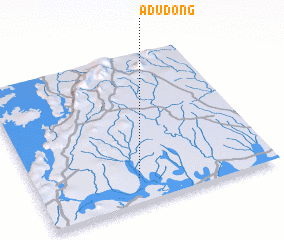 Places with similar names to Adudong, Ghana ::
Disclaimer :: Information on this page comes without warranty of any kind |
||
|
Where is Adudong? Elevation and coordinates ::
Latitude (lat): 6°10'0"N Longitude (lon): 0°26'0"W
Elevation (approx.): 17m (map arrows pan, magnifying glasses zoom) |
||
|
Visiting Adudong? Hotel/Accommodation ::
Book a hotel in Adudong Travel Guide ::
Buy a travel guide for Ghana rental cars ::
car rental offers GPS waypoint ::
download a GPX waypoint (PoI) of Adudong for your GPS receiver
|
||