|
search place name
|
||
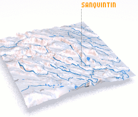
San Quintín (Chiapas, Mexico)San Quintín is a town in the Chiapas region of Mexico. An overview map of the region around San Quintín is displayed below.
regional and 3d topo map of San Quintín, Mexico ::

San Quintín airports ::
The nearest airport is CBV - Coban, located 143.0 km south east of San Quintín.
Other airports nearby include TGZ - Tuxtla Gutierrez Angel Albino Corzo (181.6 km west), TAP - Tapachula Intl (209.6 km south west), GUA - Guatemala City La Aurora (218.8 km south east), VSA - Villahermosa C P A Carlos Rovirosa Intl (237.0 km north west), Nearby towns ::
 Places with similar names to San Quintín, Mexico ::
// San Quentin (US)
// San Quintín (ES)
// Sinacantán (GT)
// San Quintín (MX)
// San Quintín (MX)
// San Quintin (MX)
// Zinacantán (MX)
// Zangon Touno (NE)
// San Quintín (VE)
// San-k'an-tien (TW)
Disclaimer :: Information on this page comes without warranty of any kind |
||
|
Where is San Quintín? Elevation and coordinates ::
Latitude (lat): 16°24'0"N Longitude (lon): 91°20'0"W
Elevation (approx.): 213m (map arrows pan, magnifying glasses zoom) |
||
|
Visiting San Quintín? Hotel/Accommodation ::
Book a hotel in San Quintín Travel Guide ::
Buy a travel guide for Mexico rental cars ::
car rental offers GPS waypoint ::
download a GPX waypoint (PoI) of San Quintín for your GPS receiver
|
||