|
search place name
|
||
Al Ḩaşāşirah (Dhī Qār, Iraq)Al Ḩaşāşirah is a town in the Dhī Qār region of Iraq. An overview map of the region around Al Ḩaşāşirah is displayed below.
regional and 3d topo map of Al Ḩaşāşirah, Iraq ::

Al Ḩaşāşirah airports ::
The nearest airport is BSR - Basrah Intl, located 130.1 km south east of Al Ḩaşāşirah.
Other airports nearby include ABD - Abadan (187.7 km south east), KWI - Kuwait Intl (251.6 km south east), Nearby towns ::
Al Ḩasan (0.9km west) //
Julūb (2.3km south west) //
Kharāʼib Muţashshar (3.7km north) //
Fazzā‘ (4.5km south east) //
Imām Sa‘īd (5.8km south) //
Muḩammad an Nūwār (5.8km south) //
Shahd al Mawārid (5.8km north east) //
Şāliḩ ad Dāghir (5.7km north west) //
Sayyid Fulayyiḩ (5.6km west) //
Sayyid Dakhīl (7.1km north) //
Nājī al Fāris (7.1km south west) //
Qaryat Rāḑī al Mājid (7.7km south) //
As Sayyid (8.0km south) //
Dār Kāʼid al ‘Atīq (7.6km north east) //
Ḩamd al Karīm (8.4km south east) //
Imām al Ḩusayn Bin ‘Alī (8.4km south east) //
Ḩājj Ḩusayn (9.1km north) //
‘Aţshān al ‘Īsá (9.0km south west) //
Qaryat al Farhah (9.2km north) //
Al ‘Īd (9.4km south east) //
Dākhil (9.3km south west) //
[all distances 'as the bird flies' and approximate] 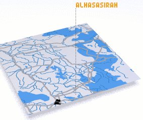 Places with similar names to Al Ḩaşāşirah, Iraq :: Disclaimer :: Information on this page comes without warranty of any kind |
||
|
Where is Al Ḩaşāşirah? Elevation and coordinates ::
Latitude (lat): 31°4'7"N Longitude (lon): 46°26'34"E
Elevation (approx.): 6m (map arrows pan, magnifying glasses zoom) |
||
|
Visiting Al Ḩaşāşirah? Hotel/Accommodation ::
Book a hotel in Al Ḩaşāşirah Travel Guide ::
Buy a travel guide for Iraq rental cars ::
car rental offers GPS waypoint ::
download a GPX waypoint (PoI) of Al Ḩaşāşirah for your GPS receiver
|
||