|
search place name
|
||
Bāgh Ajnīr (Arbīl, Iraq)Bāgh Ajnīr is a town in the Arbīl region of Iraq. An overview map of the region around Bāgh Ajnīr is displayed below.
regional and 3d topo map of Bāgh Ajnīr, Iraq ::

Nearby towns ::
Mukhras (3.7km south east) //
Kapānak (4.9km south) //
Takaltū (4.2km east) //
Nāşir Āghā (5.9km north east) //
Ţālibān Gawrah (5.4km west) //
Garmuk (6.7km south east) //
Ţaqţaq (7.0km south west) //
Qurtan (7.8km north) //
Dāramazin (7.7km north) //
Garmik (7.2km south west) //
Sumāga (8.2km south) //
Kurah Bārāzah (7.7km north east) //
Qaranāw (8.5km south) //
Tālibān-i Gichka (7.2km west) //
Shōgir (8.7km north) //
Darbaru (8.6km north west) //
Kasrog (8.5km south east) //
Qasrōk (8.6km south east) //
Sātu Qala (8.7km south east) //
Jagilah (9.4km south west) //
Bājawān (9.5km north east) //
[all distances 'as the bird flies' and approximate] 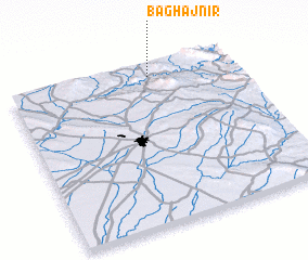 Places with similar names to Bāgh Ajnīr, Iraq :: Disclaimer :: Information on this page comes without warranty of any kind |
||
|
Where is Bāgh Ajnīr? Elevation and coordinates ::
Latitude (lat): 35°56'2"N Longitude (lon): 44°38'2"E
Elevation (approx.): 468m (map arrows pan, magnifying glasses zoom) |
||
|
Visiting Bāgh Ajnīr? Hotel/Accommodation ::
Book a hotel in Bāgh Ajnīr Travel Guide ::
Buy a travel guide for Iraq rental cars ::
car rental offers GPS waypoint ::
download a GPX waypoint (PoI) of Bāgh Ajnīr for your GPS receiver
|
||