|
search place name
|
||
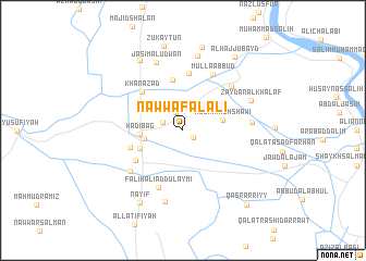
Nawwāf al ‘Alī (Bābil, Iraq)Nawwāf al ‘Alī is a town in the Bābil region of Iraq. An overview map of the region around Nawwāf al ‘Alī is displayed below.
regional and 3d topo map of Nawwāf al ‘Alī, Iraq ::
Nearby towns ::
Ḩusayn al ‘Abd Allāh (1.1km south east) //
Muḩammad Ibrāhīm (2.0km north) //
‘Alī Maḩmūd (1.9km north west) //
Kāz̧im as Salmān (3.4km west) //
Muz̧hir ash Shāwī (3.5km east) //
Hādī Bag (3.7km west) //
Ḩarīr (4.1km south west) //
Salmān al Ḩabīb (5.3km north) //
Sakrān (4.9km west) //
Khān Āzād (5.2km north west) //
Al Maḩmūdīyah (5.1km south west) //
Nāyif as Sallūmī (5.9km north) //
Fāliḩ ‘Alī ad Dulaymī (6.3km south) //
Mullā ‘Abbūd (6.3km north east) //
‘Alwān al Khalf (6.1km north east) //
Qal‘at ‘Alī ad Dulaymī (6.2km south west) //
‘Ubayd (6.0km east) //
Jāsim al ‘Udwān (7.3km north) //
Tawfīq (7.5km south) //
Zaydān al Khalaf (6.6km north east) //
‘Alī al Khalaf (7.7km north) //
Al Ḩājj Ja‘far (8.1km north west) //
Nāyif (8.2km south west) //
Bin Muḩammad (8.7km north) //
Zukayţūn (8.8km north) //
Al Ḩājj ‘Ubayd (8.8km north east) //
Qaşr ar Riyy (9.4km south east) //
[all distances 'as the bird flies' and approximate] 
Disclaimer :: Information on this page comes without warranty of any kind |
||
|
Where is Nawwāf al ‘Alī? Elevation and coordinates ::
Latitude (lat): 33°4'59"N Longitude (lon): 44°24'22"E
Elevation (approx.): 34m (map arrows pan, magnifying glasses zoom) |
||
|
Visiting Nawwāf al ‘Alī? Hotel/Accommodation ::
Book a hotel in Nawwāf al ‘Alī Travel Guide ::
Buy a travel guide for Iraq rental cars ::
car rental offers GPS waypoint ::
download a GPX waypoint (PoI) of Nawwāf al ‘Alī for your GPS receiver
|
||