|
search place name
|
||
Qalā Tūkān (As Sulaymānīyah, Iraq)Qalā Tūkān is a town in the As Sulaymānīyah region of Iraq. An overview map of the region around Qalā Tūkān is displayed below.
regional and 3d topo map of Qalā Tūkān, Iraq ::

Qalā Tūkān airports ::
The nearest airport is SDG - Sanandaj, located 213.8 km south east of Qalā Tūkān.
Other airports nearby include TBZ - Tabriz Intl (218.6 km north east), Nearby towns ::
Abu Bakra (1.5km west) //
Bārīkān (2.5km south) //
Dashuwān (2.4km south west) //
Shekhān (3.7km south west) //
Sewais (4.1km south west) //
Tūtama (5.1km south east) //
Razga (4.4km east) //
Be Palan (5.2km west) //
Spīkala (6.3km east) //
Shīnāwa (7.0km east) //
Āshqōlka (7.2km north west) //
Zūdān (8.6km south) //
Dargala (8.8km south) //
Sūradē (7.4km north west) //
Gozena (8.9km south east) //
Arka (7.7km south east) //
Sinamōka (7.8km north west) //
Suragla (8.0km south east) //
[all distances 'as the bird flies' and approximate] 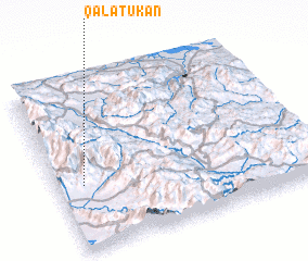 Places with similar names to Qalā Tūkān, Iraq ::
// Calatagan (PH)
// Calatagan (PH)
// Calittacan (PH)
// Güldoğan (TR)
// Kalitkino (RU)
// Kolodkino (RU)
// Kolodkino (RU)
// Kolodkino (RU)
// Goladgaon (IN)
// Kālitagaon (IN)
Disclaimer :: Information on this page comes without warranty of any kind |
||
|
Where is Qalā Tūkān? Elevation and coordinates ::
Latitude (lat): 36°23'5"N Longitude (lon): 45°6'4"E
Elevation (approx.): 1127m (map arrows pan, magnifying glasses zoom) |
||
|
Visiting Qalā Tūkān? Hotel/Accommodation ::
Book a hotel in Qalā Tūkān Travel Guide ::
Buy a travel guide for Iraq rental cars ::
car rental offers GPS waypoint ::
download a GPX waypoint (PoI) of Qalā Tūkān for your GPS receiver
|
||