|
search place name
|
||
Ţalḩah (Al Başrah, Iraq)Ţalḩah is a town in the Al Başrah region of Iraq. An overview map of the region around Ţalḩah is displayed below.
regional and 3d topo map of Ţalḩah, Iraq ::

Ţalḩah airports ::
The nearest airport is BSR - Basrah Intl, located 54.1 km south east of Ţalḩah.
Other airports nearby include ABD - Abadan (104.4 km south east), AWZ - Ahwaz (136.0 km east), MRX - Bandar Mahshahr Mahshahr (174.4 km east), KWI - Kuwait Intl (202.0 km south), Nearby towns ::
Na‘īm (1.5km south) //
Ajjassam (2.0km south west) //
‘Awjān (2.9km north east) //
Aş Şuwaydı‘ (3.5km east) //
Al Qurnah (5.1km north east) //
Ash Shāhīn (4.9km east) //
Nuhayrāt (5.7km north east) //
Murīd Āghā (6.0km west) //
Shalḩah (6.3km east) //
Arrar (7.1km north east) //
Abū Gharb (6.7km south west) //
Al Muzayrah (7.0km north east) //
Al Jala‘ah (7.2km south east) //
Mawzah (8.9km north) //
Umm Jayr (8.5km north west) //
Ghannām (9.0km north west) //
[all distances 'as the bird flies' and approximate] 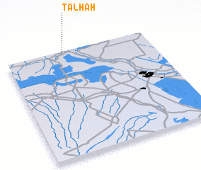 Places with similar names to Ţalḩah, Iraq ::
Disclaimer :: Information on this page comes without warranty of any kind |
||
|
Where is Ţalḩah? Elevation and coordinates ::
Latitude (lat): 30°58'47"N Longitude (lon): 47°23'50"E
Elevation (approx.): 5m (map arrows pan, magnifying glasses zoom) |
||
|
Visiting Ţalḩah? Hotel/Accommodation ::
Book a hotel in Ţalḩah Travel Guide ::
Buy a travel guide for Iraq rental cars ::
car rental offers GPS waypoint ::
download a GPX waypoint (PoI) of Ţalḩah for your GPS receiver
|
||