|
search place name
|
||
Āz̄arjān (Eşfahān, Iran)Āz̄arjān is a town in the Eşfahān region of Iran. An overview map of the region around Āz̄arjān is displayed below.
regional and 3d topo map of Āz̄arjān, Iran ::

Nearby towns ::
Khūlenjān (0.3km south) //
Khūlenjān (0.9km south west) //
Ādergān (1.1km south west) //
Qal‘eh Bozī (1.3km west) //
Bārchān (1.7km north east) //
Kūshkgīcheh (1.9km north east) //
Jūshān (2.1km north east) //
Lenj (2.0km west) //
Bāgh-e Malek (2.1km east) //
Tolombeh-ye Ḩoseynābād-e Sādāt (2.5km east) //
Tolombeh-ye Māndeh ‘Alī (2.5km east) //
Dastjerd-e Mehr Āvarān (3.1km north) //
Harātomeh (3.0km north) //
Nīkūābād (2.7km west) //
Nūkābād (2.8km west) //
Ḩasanābād-e Qal‘eh Bozī (2.9km north west) //
Qal‘eh-e Bīābān (2.9km north east) //
Mazra‘eh-ye Cheh (3.7km north) //
Mazra‘ehcheh (3.7km north) //
Tolombeh-ye Ḩājj Ḩasan (3.8km south) //
Arāẕī (3.6km north east) //
Fakhrābād (4.2km north) //
Aḩmadābād (4.2km north) //
Jowharestān-e Pā'īn (3.8km east) //
Fakhrābād (4.5km north) //
Tolombeh-ye Āqā Kamāl (4.0km south east) //
Raḩīmābād (4.8km north) //
Esmā‘īl Tarkhān (4.6km west) //
Dārjān (5.3km north) //
[all distances 'as the bird flies' and approximate] 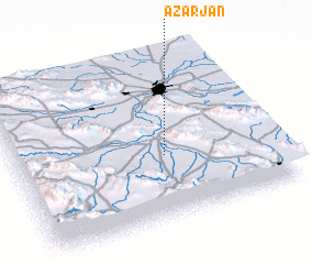 Places with similar names to Āz̄arjān, Iran ::
// Ausseraigen (AT)
Disclaimer :: Information on this page comes without warranty of any kind |
||
|
Where is Āz̄arjān? Elevation and coordinates ::
Latitude (lat): 32°23'25"N Longitude (lon): 51°34'30"E
Elevation (approx.): 1649m (map arrows pan, magnifying glasses zoom) |
||
|
Visiting Āz̄arjān? Hotel/Accommodation ::
Book a hotel in Āz̄arjān Travel Guide ::
Buy a travel guide for Iran rental cars ::
car rental offers GPS waypoint ::
download a GPX waypoint (PoI) of Āz̄arjān for your GPS receiver
|
||