|
search place name
|
||
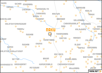
Nākū (Iran)Nākū is a town in Iran. An overview map of the region around Nākū is displayed below.
regional and 3d topo map of Nākū, Iran ::
Nākū airports ::
The nearest airport is XBJ - Birjand, located 24.2 km south of Nākū.
Nearby towns ::
Now Khvān (1.9km north) //
Ghazal Dār (1.6km east) //
‘Eşmatābād (2.3km south) //
Ārvīz (2.4km south) //
Qahveh Khāneh-ye ‘Alī Nezhād (2.4km south east) //
Darreh-ye Ghazān (2.3km west) //
Tahangābād (3.5km east) //
Shārqonj (3.6km south west) //
Gheyūg (4.0km south east) //
Āgholdar (5.2km south west) //
Sāqī (4.8km north east) //
Khūnīk (5.1km south west) //
Ḩambal (6.0km north) //
Āb Anbār (6.4km north east) //
Zīārat (6.4km north west) //
Bāīmār (6.0km south west) //
Māheshk (6.0km south west) //
Dāgh Dahaneh (6.4km south west) //
Jowzestān (5.8km east) //
Pastūnī (7.6km north) //
Rāz (7.6km south) //
Kalāteh-ye Now (7.7km south) //
Nūghāb (6.5km west) //
Darreh Bāghān (7.3km south east) //
Bovāj (7.8km north west) //
Chākand-e Bālā (7.2km north east) //
Māhūk (8.0km north east) //
Razg (8.0km south east) //
Chahkand (8.2km north) //
[all distances 'as the bird flies' and approximate] 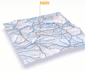 Places with similar names to Nākū, Iran ::
Disclaimer :: Information on this page comes without warranty of any kind |
||
|
Where is Nākū? Elevation and coordinates ::
Latitude (lat): 33°7'0"N Longitude (lon): 59°16'0"E
Elevation (approx.): 1982m (map arrows pan, magnifying glasses zoom) |
||
|
Visiting Nākū? Hotel/Accommodation ::
Book a hotel in Nākū Travel Guide ::
Buy a travel guide for Iran rental cars ::
car rental offers GPS waypoint ::
download a GPX waypoint (PoI) of Nākū for your GPS receiver
|
||