|
search place name
|
||
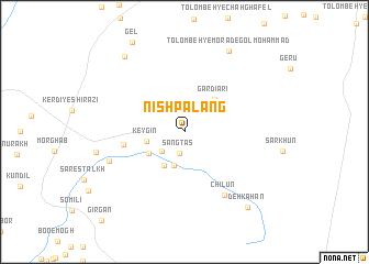
Nīsh Palang (Kermān, Iran)Nīsh Palang is a town in the Kermān region of Iran. An overview map of the region around Nīsh Palang is displayed below.
regional and 3d topo map of Nīsh Palang, Iran ::
Nīsh Palang airports ::
The nearest airport is BND - Bandar Abbass Intl, located 127.3 km south west of Nīsh Palang.
Other airports nearby include KHS - Khasab (217.2 km south west), Nearby towns ::
Sang Tās (2.2km south) //
Galm Kolān (2.8km south west) //
Gah Mū'ī (3.5km south) //
Key Gīn (3.5km west) //
Rāhū'ī (3.8km south west) //
Bonzeh (3.9km south west) //
Gardīārī (4.3km north east) //
Chāh Nar (5.7km west) //
Chīlūn (7.4km south east) //
Sagnān (7.4km south west) //
Tolombeh-ye Morād-e Golmoḩammad (9.1km north east) //
Chāh Ḩājjī (9.3km north west) //
Deh Kahān (9.6km south east) //
Deh-e Kahān (9.6km south east) //
[all distances 'as the bird flies' and approximate] 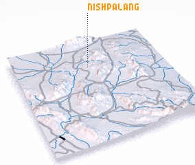 Places with similar names to Nīsh Palang, Iran :: Disclaimer :: Information on this page comes without warranty of any kind |
||
|
Where is Nīsh Palang? Elevation and coordinates ::
Latitude (lat): 27°46'4"N Longitude (lon): 57°30'35"E
Elevation (approx.): 894m (map arrows pan, magnifying glasses zoom) |
||
|
Visiting Nīsh Palang? Hotel/Accommodation ::
Book a hotel in Nīsh Palang Travel Guide ::
Buy a travel guide for Iran rental cars ::
car rental offers GPS waypoint ::
download a GPX waypoint (PoI) of Nīsh Palang for your GPS receiver
|
||