|
search place name
|
||
Parīkān (Sīstān va Balūchestān, Iran)Parīkān is a town in the Sīstān va Balūchestān region of Iran. An overview map of the region around Parīkān is displayed below.
regional and 3d topo map of Parīkān, Iran ::

Parīkān airports ::
The nearest airport is TRB - Turbo Turbat Intl, located 85.8 km south of Parīkān.
Other airports nearby include PJG - Panjgur (129.3 km east), PSI - Pasni (168.4 km south), GWD - Gwadar (175.4 km south), Nearby towns ::
Nūkābād (5.8km north) //
Sūkhteh Mok (5.9km north) //
Shīrīn Zād (5.9km north) //
Malānī (7.1km west) //
Porkan (8.6km north east) //
Bād Kūchek (9.1km south west) //
Anbār (9.4km north west) //
[all distances 'as the bird flies' and approximate] 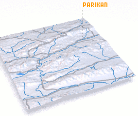 Places with similar names to Parīkān, Iran ::
Disclaimer :: Information on this page comes without warranty of any kind |
||
|
Where is Parīkān? Elevation and coordinates ::
Latitude (lat): 26°44'38"N Longitude (lon): 62°51'10"E
Elevation (approx.): 947m (map arrows pan, magnifying glasses zoom) |
||
|
Visiting Parīkān? Hotel/Accommodation ::
Book a hotel in Parīkān Travel Guide ::
Buy a travel guide for Iran rental cars ::
car rental offers GPS waypoint ::
download a GPX waypoint (PoI) of Parīkān for your GPS receiver
|
||