|
search place name
|
||
Sarband (Iran)Sarband is a town in Iran. An overview map of the region around Sarband is displayed below.
regional and 3d topo map of Sarband, Iran ::

Sarband airports ::
The nearest airport is RAS - Rasht, located 147.4 km south east of Sarband.
Nearby towns ::
Naneh Karān (1.6km south west) //
Āq Masjed (3.4km north east) //
Dagermān Daraq (4.0km south) //
Ḩeyrān-e Mīānī (4.7km north east) //
Kelāsar (4.7km south west) //
Dāsh Bolāghī (4.4km west) //
Mehdī Postī (5.6km south) //
Degermān Keshī (4.4km east) //
Ḩājj Āmīr-e Pā'īn (5.7km north) //
Ḩājj Āmīr-e Bālā (5.7km north) //
Ḩājj Āmīr-e Vanehbīn (5.7km north) //
Ārpā Tappehsī (5.3km north west) //
Khānqāh-e Bālā (6.3km north west) //
Karīm Kandī (6.3km south west) //
Chamlar (5.8km east) //
Pateh Khvor (6.1km west) //
Qarah Chanāq (7.1km south west) //
Sīj (6.9km north east) //
Now Deh (8.0km north) //
Gollū (6.9km south west) //
Sa‘īdābād (8.0km south) //
Mīnābād (8.1km north west) //
Bagchilyar (8.0km north east) //
Dūdarān (8.0km north west) //
Khanaq Chāy (8.0km north west) //
Dovarjīn (8.0km south west) //
[all distances 'as the bird flies' and approximate] 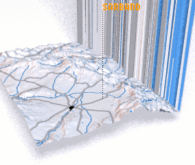 Places with similar names to Sarband, Iran ::
// Serbentai (LT)
// Zarabanda (CU)
// Cerro Bonito (SV)
// Seribonde (GH)
// Zarband (UZ)
// Saré Bandi (SN)
// Saré Bondié (SN)
// Sar Band (IR)
// Sarband (IR)
// Sarband (IR)
Disclaimer :: Information on this page comes without warranty of any kind |
||
|
Where is Sarband? Elevation and coordinates ::
Latitude (lat): 38°22'0"N Longitude (lon): 48°34'0"E
Elevation (approx.): 1457m (map arrows pan, magnifying glasses zoom) |
||
|
Visiting Sarband? Hotel/Accommodation ::
Book a hotel in Sarband Travel Guide ::
Buy a travel guide for Iran rental cars ::
car rental offers GPS waypoint ::
download a GPX waypoint (PoI) of Sarband for your GPS receiver
|
||