|
search place name
|
||
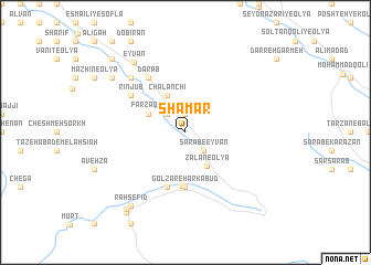
Shāmār (Īlām, Iran)Shāmār is a town in the Īlām region of Iran. An overview map of the region around Shāmār is displayed below.
regional and 3d topo map of Shāmār, Iran ::
Shāmār airports ::
The nearest airport is KSH - Bakhtaran Shahid Ashrafi Esfahani, located 98.5 km north east of Shāmār.
Other airports nearby include SDG - Sanandaj (174.9 km north), Nearby towns ::
Kharābānān-e ‘Olyā (1.9km north) //
Kharābānān-e Soflá (2.4km north west) //
Kol Kol (2.4km north west) //
Sarāb-e Eyvān (2.4km south east) //
Z̄alān-e ‘Olyā (3.8km south east) //
Farzaqeh (3.6km north west) //
Chālānchī (4.0km north west) //
Golzār (5.4km south) //
Golzār-e Harkabūd (5.6km south) //
Golzār-e Ḩaddād (5.8km south) //
Goleh Jār (5.8km south) //
Dārāb (6.4km north west) //
Rīnjūb (5.9km north west) //
Gāv Savār (7.2km north west) //
Eyvān (8.3km north west) //
Shīrah Choqā (8.3km north west) //
Lāshekan (8.7km south west) //
Rāh Sefīd (8.7km south west) //
Chūār (9.2km south west) //
Bahmanābād (9.5km south west) //
Jūsheh (9.6km north west) //
[all distances 'as the bird flies' and approximate] 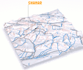 Places with similar names to Shāmār, Iran ::
Disclaimer :: Information on this page comes without warranty of any kind |
||
|
Where is Shāmār? Elevation and coordinates ::
Latitude (lat): 33°46'0"N Longitude (lon): 46°21'0"E
Elevation (approx.): 1264m (map arrows pan, magnifying glasses zoom) |
||
|
Visiting Shāmār? Hotel/Accommodation ::
Book a hotel in Shāmār Travel Guide ::
Buy a travel guide for Iran rental cars ::
car rental offers GPS waypoint ::
download a GPX waypoint (PoI) of Shāmār for your GPS receiver
|
||