|
search place name
|
||
Takyeh (Kermān, Iran)Takyeh is a town in the Kermān region of Iran. An overview map of the region around Takyeh is displayed below.
regional and 3d topo map of Takyeh, Iran ::

Takyeh airports ::
The nearest airport is KER - Kerman, located 100.6 km north east of Takyeh.
Nearby towns ::
Aḩmadī (2.1km south east) //
Bā Bā Yūsef (2.4km east) //
Khārqān (2.5km east) //
Deh ‘Alī (3.5km south) //
Mehn (3.9km south) //
Deh Bālā (3.5km west) //
Deh Maḩmūd (3.9km north west) //
Deh-e Now (4.3km east) //
Galū Qorbānī (4.6km east) //
Nāşerīyeh (5.3km north) //
Bīd Kheyrī (6.2km north) //
Shāh Qūch (6.0km west) //
Bāgh Khoshk (6.6km west) //
Shūq (6.6km west) //
Kūsh Tarkī (6.8km north west) //
Sangarū‘īyeh (7.1km north east) //
Pīrmorād (7.7km north) //
[all distances 'as the bird flies' and approximate] 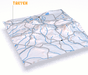 Places with similar names to Takyeh, Iran ::
Disclaimer :: Information on this page comes without warranty of any kind |
||
|
Where is Takyeh? Elevation and coordinates ::
Latitude (lat): 29°47'3"N Longitude (lon): 56°4'26"E
Elevation (approx.): 2466m (map arrows pan, magnifying glasses zoom) |
||
|
Visiting Takyeh? Hotel/Accommodation ::
Book a hotel in Takyeh Travel Guide ::
Buy a travel guide for Iran rental cars ::
car rental offers GPS waypoint ::
download a GPX waypoint (PoI) of Takyeh for your GPS receiver
|
||