|
search place name
|
||
Khokhar Bāla (Punjab, Pakistan)Khokhar Bāla is a town in the Punjab region of Pakistan. An overview map of the region around Khokhar Bāla is displayed below.
regional and 3d topo map of Khokhar Bāla, Pakistan ::

Khokhar Bāla airports ::
The nearest airport is ISB - Islamabad Chaklala, located 97.9 km north of Khokhar Bāla.
Other airports nearby include RAZ - Rawala Kot Rawalakot (150.9 km north east), LYP - Faisalabad Intl (156.3 km south), PEW - Peshawar Intl (182.2 km north west), MFG - Muzaffarabad (185.9 km north), Nearby towns ::
Khairpur (4.0km south west) //
Dhok Suba (4.7km south) //
Dalelpur (4.8km south east) //
Maghāl (4.8km south east) //
Dhok Anārkhān (5.4km south) //
Chak Khushi (4.7km west) //
Shamsābād (5.8km north) //
Dhok Kowāle (5.9km south) //
Dhok Saīdullāh (5.7km south east) //
Khokhar Zer (6.4km north east) //
Dhok Malkānah (6.9km south) //
Dhariāla (6.2km east) //
Pādshāhpur (7.4km south east) //
Arār (7.3km south east) //
Chhoi (8.0km south west) //
Bhamrot (8.4km south) //
Dhok Thua (8.5km south east) //
Wariāmāl (8.8km north east) //
Rāmshi (8.8km north east) //
Khāi (8.8km north west) //
Kariāla (9.7km north east) //
Dalwāl (9.7km south east) //
[all distances 'as the bird flies' and approximate] 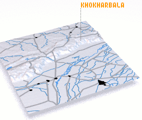 Places with similar names to Khokhar Bāla, Pakistan :: Disclaimer :: Information on this page comes without warranty of any kind |
||
|
Where is Khokhar Bāla? Elevation and coordinates ::
Latitude (lat): 32°46'0"N Longitude (lon): 72°49'0"E
Elevation (approx.): 793m (map arrows pan, magnifying glasses zoom) |
||
|
Visiting Khokhar Bāla? Hotel/Accommodation ::
Book a hotel in Khokhar Bāla Travel Guide ::
Buy a travel guide for Pakistan rental cars ::
car rental offers GPS waypoint ::
download a GPX waypoint (PoI) of Khokhar Bāla for your GPS receiver
|
||