|
search place name
|
||
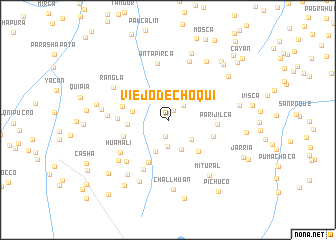
Viejo de Choqui (Pasco, Peru)Viejo de Choqui is a town in the Pasco region of Peru. An overview map of the region around Viejo de Choqui is displayed below.
regional and 3d topo map of Viejo de Choqui, Peru ::
Viejo de Choqui airports ::
The nearest airport is ATA - Anta Comandante Fap German Arias Graziani, located 183.2 km north west of Viejo de Choqui.
Other airports nearby include LIM - Lima Jorge Chavez Intl (196.5 km south west), Nearby towns ::
Cabracancha (1.3km north east) //
Yaruchahua (1.8km south) //
Chunquipata (2.4km north east) //
Huirahuaiyan (2.7km north east) //
Potrero (2.9km south) //
Rincón Cora (3.4km south east) //
Andamayo (3.6km north east) //
Ichucarpa (3.6km south east) //
Olleros (3.8km south) //
Machín (4.0km west) //
Mina Azulniyog (4.5km west) //
Chanhuanusha (4.8km south east) //
Pampanía (5.2km south west) //
Curoragra (5.2km west) //
Pocpohuay (5.2km west) //
Vinchos (5.3km east) //
Parijilca (5.5km east) //
Juclacancha (5.5km west) //
Fundicion (5.6km north west) //
Santa Ana de Tusi (6.1km south west) //
Huamali (6.3km south west) //
Antapirca (6.4km north) //
Quiroz (6.5km south west) //
Shimana (6.7km west) //
Antacalla (6.9km north) //
Chumumamjanan (7.0km south west) //
Rangla (7.0km north west) //
Chincay (7.4km west) //
Llacsa (7.6km south west) //
[all distances 'as the bird flies' and approximate] 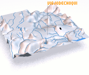 Places with similar names to Viejo de Choqui, Peru :: Disclaimer :: Information on this page comes without warranty of any kind |
||
|
Where is Viejo de Choqui? Elevation and coordinates ::
Latitude (lat): 10°25'25"S Longitude (lon): 76°19'44"W
Elevation (approx.): 4017m (map arrows pan, magnifying glasses zoom) |
||
|
Visiting Viejo de Choqui? Hotel/Accommodation ::
Book a hotel in Viejo de Choqui Travel Guide ::
Buy a travel guide for Peru rental cars ::
car rental offers GPS waypoint ::
download a GPX waypoint (PoI) of Viejo de Choqui for your GPS receiver
|
||