|
search place name
|
||
El Nievero (Barinas, Venezuela)El Nievero is a town in the Barinas region of Venezuela. An overview map of the region around El Nievero is displayed below.
regional and 3d topo map of El Nievero, Venezuela ::

El Nievero airports ::
The nearest airport is SFD - San Fernando De Apure, located 66.1 km south east of El Nievero.
Other airports nearby include AGV - Acarigua Oswaldo Guevara Mujica (205.0 km north west), VLN - Valencia Arturo Michelena Intl (212.3 km north), GUQ - Guanare (219.1 km north west), VDP - Valle De La Pascua (239.9 km north east), Nearby towns ::
Las Tinajas (2.2km north) //
Jabillal (2.2km north) //
La Martinera (2.3km south east) //
Furunguero (2.4km south west) //
Caño Seco (2.8km north east) //
El Venado (3.6km south) //
Los Banquitos (4.4km north east) //
El Draguito (4.6km east) //
Los Almendrones (4.7km west) //
Balsa (4.8km west) //
Las Ventanas (4.9km south east) //
Manglarito (5.2km south) //
La Cherna (5.9km south) //
Balsa (6.7km south east) //
Santa María (7.4km south west) //
Guanaparito (8.8km south) //
Los Aceites (10.8km south east) //
Vereño (11.6km north east) //
[all distances 'as the bird flies' and approximate] 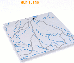 Places with similar names to El Nievero, Venezuela ::
Disclaimer :: Information on this page comes without warranty of any kind |
||
|
Where is El Nievero? Elevation and coordinates ::
Latitude (lat): 8°13'49"N Longitude (lon): 67°55'57"W
Elevation (approx.): 55m (map arrows pan, magnifying glasses zoom) |
||
|
Visiting El Nievero? Hotel/Accommodation ::
Book a hotel in El Nievero Travel Guide ::
Buy a travel guide for Venezuela rental cars ::
car rental offers GPS waypoint ::
download a GPX waypoint (PoI) of El Nievero for your GPS receiver
|
||