|
search place name
|
||
Los Corales (Falcón, Venezuela)Los Corales is a town in the Falcón region of Venezuela. An overview map of the region around Los Corales is displayed below.
regional and 3d topo map of Los Corales, Venezuela ::

Los Corales airports ::
The nearest airport is PBL - Puerto Cabello General Bartolome Salom Intl, located 40.9 km south east of Los Corales.
Other airports nearby include SFH - San Felipe Sub Teniente Nestor Arias (70.5 km south west), VLN - Valencia Arturo Michelena Intl (79.6 km south east), BRM - Barquisimeto Intl (137.8 km south west), CCS - Caracas Simon Bolivar Intl (146.9 km east), Nearby towns ::
El Cuatro (4.1km north west) //
Tucacas (5.0km north) //
Los Colorados (6.3km north west) //
Las Lomas (6.4km north) //
Caño Salado (7.2km north west) //
El Muertico (7.3km north) //
Las Delicias (8.2km south) //
Boca de Aroa (8.3km south east) //
Las Lapas (8.3km west) //
Anselmito (9.0km south) //
La Caracara (9.1km south west) //
[all distances 'as the bird flies' and approximate] 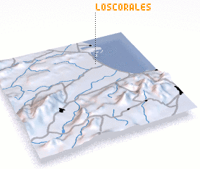 Places with similar names to Los Corales, Venezuela ::
// Los Corrales (PA)
// Los Corrales (PA)
// Los Grullos (PA)
// Las Grullas (CU)
// Las Grullas (CU)
// Los Corrales (CU)
// Las Cuerlas (ES)
// Los Carlos (ES)
// Los Carriles (ES)
// Los Carriles (ES)
Disclaimer :: Information on this page comes without warranty of any kind |
||
|
Where is Los Corales? Elevation and coordinates ::
Latitude (lat): 10°45'11"N Longitude (lon): 68°19'30"W
Elevation (approx.): 4m (map arrows pan, magnifying glasses zoom) |
||
|
Visiting Los Corales? Hotel/Accommodation ::
Book a hotel in Los Corales Travel Guide ::
Buy a travel guide for Venezuela rental cars ::
car rental offers GPS waypoint ::
download a GPX waypoint (PoI) of Los Corales for your GPS receiver
|
||