|
search place name
|
||
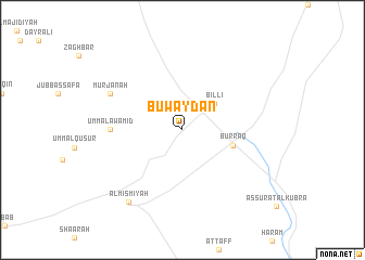
Buwayḑān (Dar‘ā, Syria)Buwayḑān is a town in the Dar‘ā region of Syria. An overview map of the region around Buwayḑān is displayed below.
regional and 3d topo map of Buwayḑān, Syria ::
Buwayḑān airports ::
The nearest airport is DAM - Damascus Intl, located 24.5 km north of Buwayḑān.
Other airports nearby include RPN - Rosh Pina Mahanaim I Ben Yaakov (84.0 km west), OMF - Mafraq King Hussein (95.0 km south), BEY - Beirut Rafic Hariri Intl (111.6 km north west), HFA - Haifa (136.9 km west), Nearby towns ::
Billī (3.9km north east) //
Burrāq (4.6km east) //
Umm al ‘Awāmīd (6.2km west) //
Murjānah (7.2km north west) //
Al Mismīyah (8.8km south west) //
[all distances 'as the bird flies' and approximate] 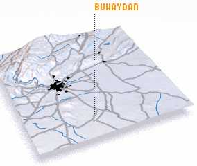 Places with similar names to Buwayḑān, Syria ::
Disclaimer :: Information on this page comes without warranty of any kind |
||
|
Where is Buwayḑān? Elevation and coordinates ::
Latitude (lat): 33°12'0"N Longitude (lon): 36°26'0"E
Elevation (approx.): 607m (map arrows pan, magnifying glasses zoom) |
||
|
Visiting Buwayḑān? Hotel/Accommodation ::
Book a hotel in Buwayḑān Travel Guide ::
Buy a travel guide for Syria rental cars ::
car rental offers GPS waypoint ::
download a GPX waypoint (PoI) of Buwayḑān for your GPS receiver
|
||