|
search place name
|
||
Kalajanga (Gongola, Nigeria)Kalajanga is a town in the Gongola region of Nigeria. An overview map of the region around Kalajanga is displayed below.
regional and 3d topo map of Kalajanga, Nigeria ::

Kalajanga airports ::
The nearest airport is JOS - Jos Yakubu Gowon, located 204.7 km west of Kalajanga.
Other airports nearby include YOL - Yola (233.4 km south east), Nearby towns ::
Kochiyel (2.6km south east) //
Sharifuri (4.1km south west) //
Daura (5.2km south west) //
Jimbom (5.2km north east) //
Karagari (5.6km south) //
Fafan Fulani (5.6km north) //
Kwagol (5.9km south) //
Fafan Bare Bari (5.9km north) //
Gidan Giwa (7.6km north) //
Garin Kanawa (8.3km south west) //
Pella Tabilang (9.2km north west) //
Magashi (10.4km north east) //
[all distances 'as the bird flies' and approximate] 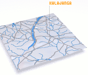 Places with similar names to Kalajanga, Nigeria ::
Disclaimer :: Information on this page comes without warranty of any kind |
||
|
Where is Kalajanga? Elevation and coordinates ::
Latitude (lat): 10°20'0"N Longitude (lon): 10°36'0"E
Elevation (approx.): 372m (map arrows pan, magnifying glasses zoom) |
||
|
Visiting Kalajanga? Hotel/Accommodation ::
Book a hotel in Kalajanga Travel Guide ::
Buy a travel guide for Nigeria rental cars ::
car rental offers GPS waypoint ::
download a GPX waypoint (PoI) of Kalajanga for your GPS receiver
|
||