|
search place name
|
||
Kwahala (Gongola, Nigeria)Kwahala is a town in the Gongola region of Nigeria. An overview map of the region around Kwahala is displayed below.
regional and 3d topo map of Kwahala, Nigeria ::

Kwahala airports ::
The nearest airport is YOL - Yola, located 113.7 km south east of Kwahala.
Other airports nearby include GOU - Garoua (176.6 km south east), MIU - Maiduguri (216.9 km north east), Nearby towns ::
Wuro Mali (1.8km east) //
Wunje (1.9km south) //
Chapu (1.9km north) //
Binyu (2.6km south west) //
Pan Shani (3.6km east) //
Pitila Market (4.1km north west) //
Jangi (4.1km north west) //
Lomar (5.2km north east) //
Kwahala (5.2km north west) //
Shani (5.4km east) //
Yoolari (5.6km south) //
Wuro Jam (5.6km south) //
Kulara (5.5km west) //
Tsohon Shani (5.5km east) //
Ngabu (5.9km south) //
Galu (5.8km west) //
Pilei (5.8km east) //
Lakundum (5.8km west) //
Leberi (5.8km east) //
Kopla (6.6km south east) //
Mallam Batta (6.6km south east) //
Jeki (7.5km east) //
Mbagu (7.5km east) //
Dalhat (7.5km east) //
Kalagar (7.6km south) //
Bakaina (7.6km south) //
Yederi (7.8km south east) //
Buruluk (7.8km north west) //
Wargila (8.2km south west) //
[all distances 'as the bird flies' and approximate] 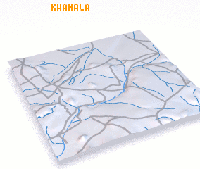 Places with similar names to Kwahala, Nigeria ::
Disclaimer :: Information on this page comes without warranty of any kind |
||
|
Where is Kwahala? Elevation and coordinates ::
Latitude (lat): 10°12'0"N Longitude (lon): 12°1'0"E
Elevation (approx.): 240m (map arrows pan, magnifying glasses zoom) |
||
|
Visiting Kwahala? Hotel/Accommodation ::
Book a hotel in Kwahala Travel Guide ::
Buy a travel guide for Nigeria rental cars ::
car rental offers GPS waypoint ::
download a GPX waypoint (PoI) of Kwahala for your GPS receiver
|
||