|
search place name
|
||
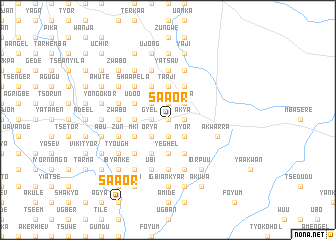
Saaor (Gongola, Nigeria)Saaor is a town in the Gongola region of Nigeria. An overview map of the region around Saaor is displayed below.
regional and 3d topo map of Saaor, Nigeria ::
Saaor airports ::
The nearest airport is MDI - Makurdi, located 46.6 km north of Saaor.
Other airports nearby include ENU - Enugu (158.4 km south west), BPC - Bamenda (207.5 km south east), ABV - Abuja Nnamdi Azikiwe Intl (248.8 km north west), BFX - Bafoussam (264.9 km south east), Nearby towns ::
Tsume (0.0km north) //
Ngigh (0.0km north) //
Aninger (0.0km north) //
Shar (0.0km north) //
Ije (0.0km north) //
Chihichani (1.8km west) //
Igbaze (1.8km west) //
Gyel (1.8km west) //
Uanhundu (1.8km west) //
Abiji (1.8km west) //
Tyonzughul (1.8km west) //
Ikpiengel (1.8km east) //
Gbabe (1.9km north) //
Tijingi (1.9km north) //
Akya (1.8km east) //
Ngbande (1.9km north) //
Sende (1.9km south) //
Timun (1.9km south) //
Iorneel (1.9km north) //
Akaa (1.9km south) //
Uanzum (1.9km south) //
Orya (2.6km south west) //
Chia (2.6km south west) //
Shiajil (2.6km north west) //
Anyan (2.6km south west) //
Ayaghel (2.6km south west) //
Achin (2.6km north west) //
Mengel (2.6km south west) //
Mhambe (2.6km south west) //
[all distances 'as the bird flies' and approximate] 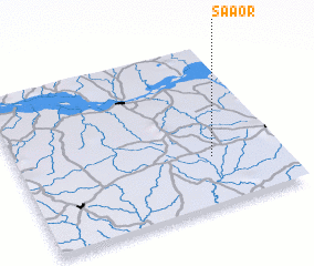 Places with similar names to Saaor, Nigeria ::
Disclaimer :: Information on this page comes without warranty of any kind |
||
|
Where is Saaor? Elevation and coordinates ::
Latitude (lat): 7°18'0"N Longitude (lon): 8°44'0"E
Elevation (approx.): 167m (map arrows pan, magnifying glasses zoom) |
||
|
Visiting Saaor? Hotel/Accommodation ::
Book a hotel in Saaor Travel Guide ::
Buy a travel guide for Nigeria rental cars ::
car rental offers GPS waypoint ::
download a GPX waypoint (PoI) of Saaor for your GPS receiver
|
||