|
search place name
|
||
Norumok (Hamgyŏng, Korea, North)Norumok is a town in the Hamgyŏng region of Korea, North. An overview map of the region around Norumok is displayed below.
regional and 3d topo map of Norumok, Korea, North ::

Nearby towns ::
Sangch'ang-ni (1.6km south east) //
Sosŏksung-dong (1.5km north east) //
Tok-kol (2.3km north west) //
Namsŏkkok (2.5km south west) //
Sangch'angp'yŏng (2.5km south east) //
Nŭnggok (3.7km south) //
Sap'yŏng (4.0km north) //
Ilso (4.5km south) //
Parkch'ŏl-li (4.5km south east) //
Samch'ŏn-dong (5.2km north west) //
Munam-ni (5.6km south) //
Nŭptŏk (4.5km north west) //
Sobakha (5.5km south east) //
Sŏksung-dong (6.2km north east) //
Hamyŏn'ganggu (7.2km north) //
Hŭngam-ni (6.8km north east) //
Suhwa-dong (7.2km south) //
Sadŭkp'yŏng (6.9km south east) //
Araegubi (6.6km north west) //
Tarimok (7.2km south east) //
Siru (8.4km north west) //
Kop'also (9.0km south) //
Taosadŭk-tong (8.1km south east) //
Sojak-tong (9.0km south east) //
Pyŏngp'ung-dong (9.2km south east) //
[all distances 'as the bird flies' and approximate] 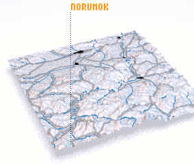 Places with similar names to Norumok, Korea, North ::
Disclaimer :: Information on this page comes without warranty of any kind |
||
|
Where is Norumok? Elevation and coordinates ::
Latitude (lat): 42°5'0"N Longitude (lon): 129°7'0"E
Elevation (approx.): 744m (map arrows pan, magnifying glasses zoom) |
||
|
Visiting Norumok? Hotel/Accommodation ::
Book a hotel in Norumok Travel Guide ::
rental cars ::
car rental offers GPS waypoint ::
download a GPX waypoint (PoI) of Norumok for your GPS receiver
|
||