|
search place name
|
||
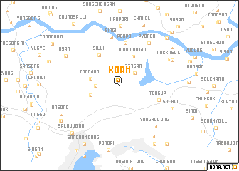
Koam (Kyŏngsang, Korea, South)Koam is a town in the Kyŏngsang region of Korea, South. An overview map of the region around Koam is displayed below.
regional and 3d topo map of Koam, Korea, South ::
Koam airports ::
The nearest airport is PUS - Kimhae Gimhae Intl, located 30.8 km south east of Koam.
Other airports nearby include TAE - Taegu Daegu Ab (66.0 km north), USN - Ulsan (72.9 km north east), KPO - Pohang (104.4 km north east), RSU - Yeosu (105.7 km south west), Nearby towns ::
Nambaek (2.1km north) //
Sŏksan (2.8km north east) //
Kamgye-ri (3.0km west) //
Tongjŏn (3.9km west) //
Oegam (4.0km west) //
Ponggong-ni (4.8km north) //
Sil-li (5.4km north west) //
Tongŭp (5.6km south east) //
Ponp'o (6.7km north) //
Sin'gi (7.6km north) //
P'yŏng-ni (7.6km north east) //
Yongho-dong (7.9km south east) //
Pukkasul (7.6km north east) //
Sŏch'ŏn (7.7km south east) //
Kasul-li (7.9km north east) //
Ch'angwŏn (9.1km south east) //
Asan (8.3km north west) //
Pungmosan (9.1km north east) //
Salgujŏng (9.6km south west) //
Susŏng (9.6km north east) //
Hanam (10.7km north east) //
[all distances 'as the bird flies' and approximate] 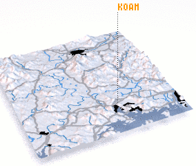 Places with similar names to Koam, Korea, South ::
Disclaimer :: Information on this page comes without warranty of any kind |
||
|
Where is Koam? Elevation and coordinates ::
Latitude (lat): 35°18'0"N Longitude (lon): 128°38'0"E
Elevation (approx.): 53m (map arrows pan, magnifying glasses zoom) |
||
|
Visiting Koam? Hotel/Accommodation ::
Book a hotel in Koam Travel Guide ::
rental cars ::
car rental offers GPS waypoint ::
download a GPX waypoint (PoI) of Koam for your GPS receiver
|
||