|
search place name
|
||
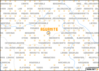
Aguamite (Nord-Est, Haiti)Aguamite is a town in the Nord-Est region of Haiti. An overview map of the region around Aguamite is displayed below.
regional and 3d topo map of Aguamite, Haiti ::
Aguamite airports ::
The nearest airport is CAP - Cap Haitien Intl, located 57.0 km north west of Aguamite.
Other airports nearby include PAP - Port-au-prince Toussaint Louverture Intl (89.8 km south west), STI - Santiago Cibao Intl (136.6 km east), BRX - Barahona Maria Montez Intl (142.2 km south east), POP - Puerto Plata Gregorio Luperon Intl (148.5 km east), Nearby towns ::
La Magueye (0.0km north) //
Roche Tempée (1.7km west) //
Ka Paul (1.7km west) //
Le Cid (1.9km north) //
Chaîne Longue (1.9km south) //
Bourgeois (2.5km south west) //
Charles (2.5km north east) //
Bois de Laurence (2.5km north east) //
Ravine Pite (2.5km south east) //
Bocaba (3.7km south) //
Nan Jean Pierre (3.5km east) //
Grande Savane (4.1km north west) //
Vimbale (4.1km north west) //
Balanier (4.0km south west) //
Bois Couleuvres (4.0km south west) //
Trois Bois-Pin (4.1km south west) //
Bois Vin Dri (5.1km north west) //
Lalia (5.1km north west) //
Nan Toussaint (5.1km north east) //
Derrière Garde (5.1km north east) //
Barestyl (5.1km south east) //
Coupe Compte (5.1km south east) //
Juge de Paix (5.2km west) //
Bazile (5.6km north) //
Gapi (5.2km east) //
Grand Mata (5.2km east) //
De lʼEau Contrée (5.8km south) //
Grande Savane (5.8km north) //
Fond Bois (5.6km west) //
[all distances 'as the bird flies' and approximate] 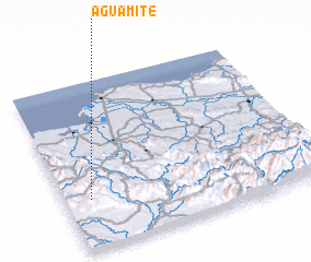 Places with similar names to Aguamite, Haiti ::
Disclaimer :: Information on this page comes without warranty of any kind |
||
|
Where is Aguamite? Elevation and coordinates ::
Latitude (lat): 19°18'0"N Longitude (lon): 71°54'0"W
Elevation (approx.): 703m (map arrows pan, magnifying glasses zoom) |
||
|
Visiting Aguamite? Hotel/Accommodation ::
Book a hotel in Aguamite Travel Guide ::
Buy a travel guide for Haiti rental cars ::
car rental offers GPS waypoint ::
download a GPX waypoint (PoI) of Aguamite for your GPS receiver
|
||