|
search place name
|
||
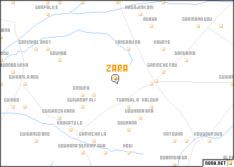
Zara (Maradi, Niger)Zara is a town in the Maradi region of Niger. An overview map of the region around Zara is displayed below.
regional and 3d topo map of Zara, Niger ::
Zara airports ::
The nearest airport is MFG - Maradi, located 61.3 km south east of Zara.
Other airports nearby include QUS - Gusau (187.5 km south), THZ - Tahoua (190.8 km north west), SKO - Sokoto Sadiq Abubakar Iii Intl (192.9 km south west), KAN - Kano Mallam Aminu Intl (282.3 km south east), Nearby towns ::
Dan Marké (4.0km south west) //
Twansala (4.1km south east) //
Guinda (5.4km east) //
Eroufa (5.7km west) //
Yangaouna (5.8km north) //
Dargué (6.1km east) //
Doumana Ara (6.6km south east) //
Fadama Djibo (6.5km south west) //
Kaloum (6.5km south east) //
Guidan Afali (6.5km south west) //
Garin Chéfou (7.4km east) //
Doumana (7.6km south) //
Kawayé (9.1km north east) //
Kouka Tulé (10.3km south west) //
[all distances 'as the bird flies' and approximate] 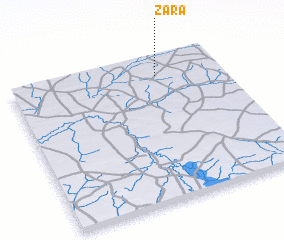 Places with similar names to Zara, Niger ::
Disclaimer :: Information on this page comes without warranty of any kind |
||
|
Where is Zara? Elevation and coordinates ::
Latitude (lat): 13°52'0"N Longitude (lon): 6°42'0"E
Elevation (approx.): 377m (map arrows pan, magnifying glasses zoom) |
||
|
Visiting Zara? Hotel/Accommodation ::
Book a hotel in Zara Travel Guide ::
Buy a travel guide for Niger rental cars ::
car rental offers GPS waypoint ::
download a GPX waypoint (PoI) of Zara for your GPS receiver
|
||