|
search place name
|
||
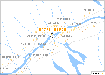
Qoz El Motraq (A‘ālī an Nīl, Sudan)Qoz El Motraq is a town in the A‘ālī an Nīl region of Sudan. An overview map of the region around Qoz El Motraq is displayed below.
regional and 3d topo map of Qoz El Motraq, Sudan ::
Qoz El Motraq airports ::
The nearest airport is KRT - Khartoum, located 136.5 km south west of Qoz El Motraq.
Nearby towns ::
Umm Shql (2.2km south) //
Qandato (2.1km east) //
Abū al Ḩasan (2.4km south east) //
Al Qawz (2.4km south east) //
El Madanab (3.0km south) //
Qandato (2.9km east) //
Hawsh al Khawajah (3.0km north west) //
Hillat Wadi Ab Dabi (3.3km north west) //
Hillat es Sol‘at (3.6km north east) //
Ed Deim (3.6km north west) //
Esh Shayqya (3.7km north) //
Es Salama (3.8km south east) //
Hillat Umm Makharoqa (3.7km west) //
Es Salluab (4.1km north) //
El Qirenab (4.0km east) //
Hillat el Karton (4.3km north) //
Hillat Wadi esh Shekh (4.4km north) //
Al Mirekh (4.6km south west) //
Birerab (4.6km east) //
Wadi Khalel (4.9km north east) //
Ed Dowyab (5.1km east) //
Salāmāt (5.4km south) //
Qandato (5.4km east) //
Deim esh Shab‘anab (5.5km west) //
Es Salama (6.0km south west) //
El Bqedab (6.0km west) //
Ed Dowyab (6.3km east) //
Esh Shokaba (6.7km north east) //
El Hobagi (6.6km west) //
[all distances 'as the bird flies' and approximate]  Places with similar names to Qoz El Motraq, Sudan :: Disclaimer :: Information on this page comes without warranty of any kind |
||
|
Where is Qoz El Motraq? Elevation and coordinates ::
Latitude (lat): 16°37'55"N Longitude (lon): 33°14'5"E
Elevation (approx.): 366m (map arrows pan, magnifying glasses zoom) |
||
|
Visiting Qoz El Motraq? Hotel/Accommodation ::
Book a hotel in Qoz El Motraq Travel Guide ::
Buy a travel guide for Sudan rental cars ::
car rental offers GPS waypoint ::
download a GPX waypoint (PoI) of Qoz El Motraq for your GPS receiver
|
||